Cajas National Park

It’s been a good day in Cuenca! The first order of business was to get a covid test for re entry into the US. There’s not a lot of information where they are available online, sort of crazy considering the number of people who need to get them to travel. I found a clinic near the bus station that did rapid tests for $30. Success!
Then caught a bus for Cajas National Park about 25k out of town. And at a little under 13,000 feet elevation. I planned on doing the Ruta 1, rated moderate and about 4.5 miles long. Dang! I immediately felt the elevation stepping off the bus… light headed and easily out of breath. The trail was very muddy in places (tennis shoes), rocky and the trail markers virtually nonexistent! The good part was about every 10 steps I wanted to take a picture. Truly an unbelievably scenic area! I ended up hiking out about 2 miles and taking a wrong turn. Ended up in a boggy area feeling lost and aware of my energy reserves, and decided to backtrack to the start. Smart move since I was by myself and did not want to spend the night there! And it was getting a bit chilly!
So, since I have good internet here I am doing a photo dump of the park. I especially liked the Polylepis or paper tree forest. Enjoy!

Travel Day

Today was a travel day. To get to the airport, one must take a bus, take a ferry, take another bus. The airport is located on Baltra island. The US built a WWII runway there to mainly protect the Panama Canal. So, the transport shuffle went surprisingly smooth and I arrived with plenty of time.
Upon arrival at the airport in Guayaquil, I took a taxi to another bus for the 3 1/2 hour ride to Cuenca. Looking at my gps, I could see there were two ways to get there, the shorter one being through the mountains. We took that route and I was excited that it went through Cajas National Park, where I plan to hike tomorrow. And EXCITING it was! OMG, this road went up and up and up. The western Andes here are very steep, which created quite a few landslides into the road. Where there was room, the new dirt road just went around them. Where there was no space, one lane was cleared and traffic alternated going through. The cloud fog got thick in places and then we emerged above them and the view was spectacular. I kept watching the altimeter on my phone to get a screen shot of the highest point. Screenshot after screenshot, we kept going higher. Finally, I did see a sign for the summit and it was 13,550 feet!
Happy to be here, Cuenca is a colonial town with some amazing architecture. Indigenous people have inhabited this area since 8060 BC. The Spanish founded a settlement here in 1557. My Air BnB looks out on the Catedral Nueva dates back to 1885. That’s the new one, the baroque Catedral Viejo or Old Cathedral broke ground in 1567. Going to have to split my time between the city and the mountains in the next two days. It’s gonna be tough!

Bike Ride to Lava pit, Tortoise ranch and a Brewery

Today a bike rental was in order to explore some of the island. Los Gamelos, or The Twins, is in the highlands and are basically two huge deep pits where lava cooled and contracted, then the tops collapsed in. It felt and looked like a rain forest there, especially with mist and light rain coming down.
Cruising down the mountain, next stop was El Chato tortoise ranch. The ranch was quite beautiful countryside, and the guide was very informative. The tortoises range freely and have lots of grass and guava fruit to eat. At this point, the rain started coming down heavily, and I was able to get a ride in a pick up taxi towards town.
Final stop was the Santa Cruz brewery production facility outside of town 3 miles down a gravel road. Finally finding it, the two guys there treated me to a tour and a couple of beers. Very welcoming folks they were and afterwards we three rode our bikes back to town.
I fly back to Guayaquil in the morning and will bus to Cuenca for the next couple of days before returning home.

Exploring Isabela Island

TodayI took a boat and snorkel tour to Los Tuneles or tunnels which lies about 15 miles to the east of town. As always, the boat ride was thrilling as we surged through 6-10 foot swells. The best part was at the end when we had to exit where the waves were breaking. We bobbed up and down as the captain waited for an opening. Then he gunned the motor charging the waves until we made it to the more tranquil sea, relatively.
Los Tuneles is a lava flow that hardened on the outside and then created many tunnels as the inner molten lava receded or collapsed. White tipped sharks enjoy hanging out in them, and our guide would push and hold us down in the water to see them. Also lots of large sea turtles, manta rays, penguins and even a lone sea horse. On the rocks, I finally saw my first blue footed boobie! The male was doing his courtship dance, but the female flew off. Maybe because his feet weren’t blue enough, since the bluer the feet the more mature he is and more experienced he’ll be in catching fish for the young. Dating isn’t for the faint of heart out here!
Last night, a group of us went out to eat. Four countries represented – Switzerland, UK, Netherlands and USA. The guy from the UK had been on the island for 3 months and to pass the time he was doing a video survey of people asking the question, “Will we make it?” Well, that is a broad question with many interpretations and it started a very interesting discussion! What would you say?
In the morning I will the ferry to my final stop in the Galapagos, Santa Cruz. It is by far the more visited island with tour and trinket shops, lots of restaurants and 2 breweries! But also some nice beaches, a tortoise breeding center and the Charles Darwin research institute.

Hiking Volcan Sierra Negra

I absolutely felt like I was on another planet today while hiking through the lava field on Volcán Sierra Negra. This surreal and barren landscape was something I’ve never experienced. The volcano is one of the more active volcanoes on the island – the most recent eruption being in 2018. It is also the second largest caldera in the world, measuring around 4 by 5 1/2 miles. In 2005, a much larger eruption occurred, filling much of the caldera with new lava.
This morning as we hiked along the edge 100 meters above the caldera, it was pea soup visibility which is normal except in the hottest months of August and September. I was very happy not to be there then! The temperature today was cool and a misty rain was falling. So we hurried along, anticipating that the fog would clear off in the afternoon on the return leg. After leaving the ridge we descended and entered a lava field of jagged rocks and smooth flows punctuated only by cactuses. Our destination was a much smaller volcanic crater called Volcán Chico. The clouds had cleared and we were treated to an amazing view of the north end of the island and the sea looking out at Fernandina Island. Lunch, a group picture and some exploration before heading back. Our hopes were realized as we crested the hill to the ridge above the caldera… the fog had cleared enough to get a view of the black barren floor of the volcano below. Most impressive was where the floor met the green slopes around the edge. Soon the fog floated back and a misty rain began to fall, ending the trip as we had began.

Bike Ride to the “Wall of Tears” on Isabela

Sitting here having a beer at the Hotel Jungla looking out at the sea. Slept really well last night, and got into town early to find breakfast. Had not made plans, but when a shopkeeper offered me a bike, I accepted.
The hotel is on the road/path that goes to the wall of tears. Being isolated islands, it was inevitable that penal colonies would be established here. In the 18th century, they were established on two islands. In 1944, one was established here with 94 prisoners. The wall of tears was built by the prisoners for no other reason except to make them suffer. The prison closed in 1959.
Started riding out through a dry forest with many lagoons. I soon came upon two land tortoises. The male was trying to mount the female but not having much luck as the female moved forward. Not an easy feat even if she is cooperative! There were several lookouts on top of hills accessible by paths/stairs. The wall was a huge pile of lava rocks, which is totally what the island is made of. There was a trail going up past the wall which I climbed as the day got hotter. Running out of water, it was time to go back with a stop at La Playita, little beach.
This afternoon I rode every back street in town I could find before returning the bike. Very interesting to me to see how people here live. Then walked out a local trail that goes to “flamingo lake”. Booked a trip to the largest volcano on the island tomorrow. 9 mile hike… good thing we’re starting at 7:30!

Changing Islands – Travel Day

Today was the day I was dreading… two 2 hour boat rides were required to get to Isabela island, where I am now. The first left at 7 AM and arrived on Santa Cruz Island at 9. After a 6 hour layover walking around Puerto Ayora, the second was supposed to leave at 3. Well, it didn’t because the motor wouldn’t start. So, about 20 of us sat in the boat for an hour and a half and watched the guy lay on the floor unplugging and plugging wires after spraying them with WD40, tightening battery terminals and cursing in Spanish. Finally, he announced that another boat would be coming in 15 minutes. He disappeared up top and we all continued to make jokes (wish my Spanish was better so I could have caught more of them) and laughed. Well, 10 minutes later the three outboard motors all sputtered to life! “Es un milagro!” Divine intervention. We puttered out of the harbor as one girl dressed in a black evening dress and sparkly sandals fell victim to sea sickness. She didn’t look good coming out of the bathroom as they told her to sit in the back of the boat next to me. Ok, little space please…
I am convinced the rough seas here are normal, especially in a 25’ boat. We bounced and rolled and splashed all the way to Puerto Villamil here on Isla Isabela, arriving in the dark. And now I’m looking out my hotel room window at a lovely view of the sea. It’s all good!

Exploring San Cristobal

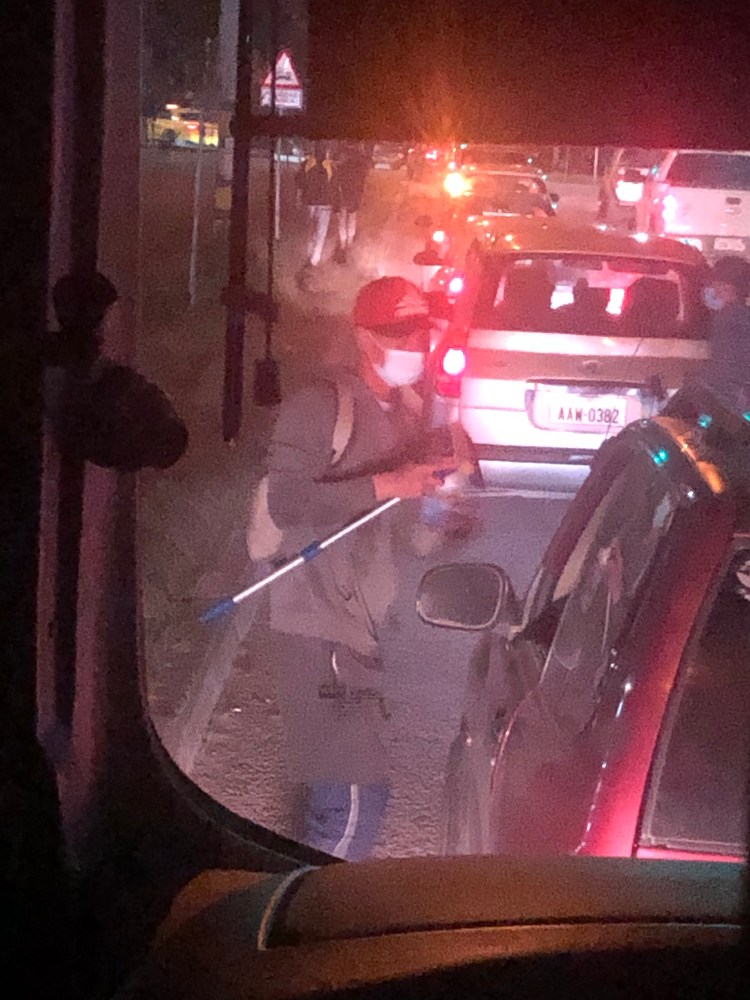
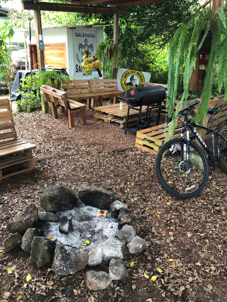
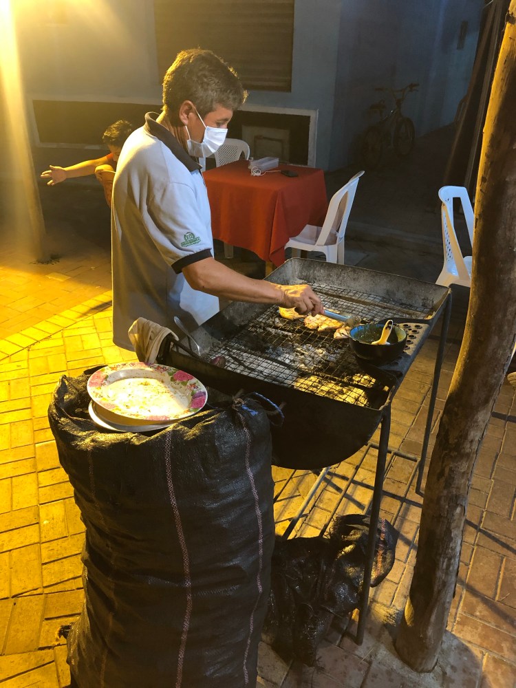
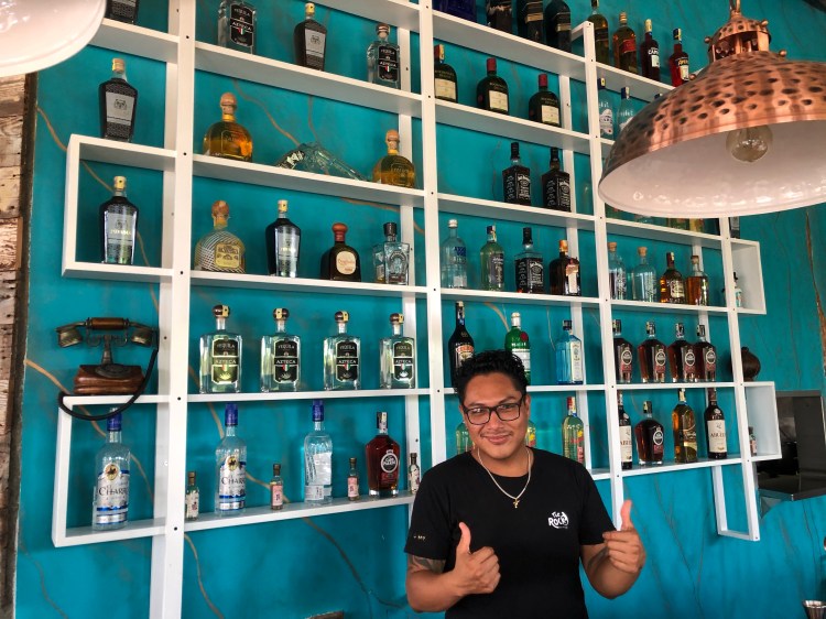
The internet here on the islands is challenging, which one might expect. Like stepping back in time to dial up speeds. Facebook seems to be more forgiving, but posting videos is pretty much impossible. Anyways, crossing my fingers, here goes.
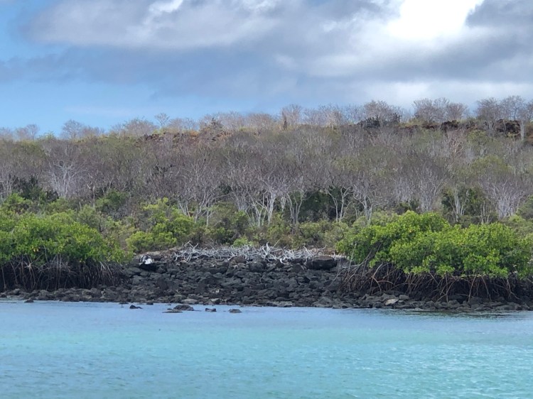
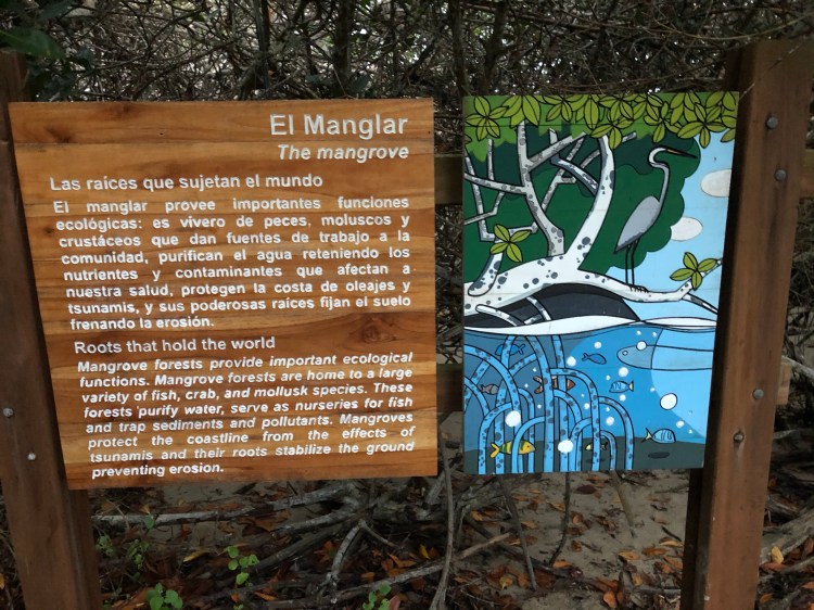
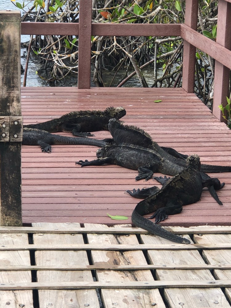
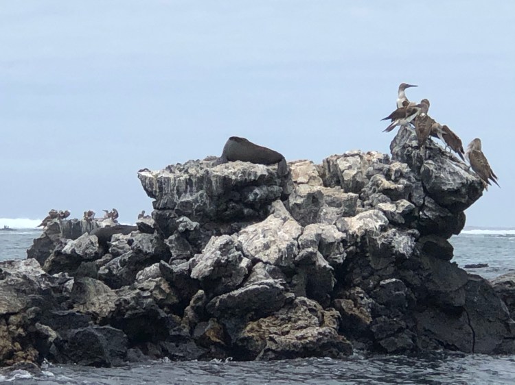
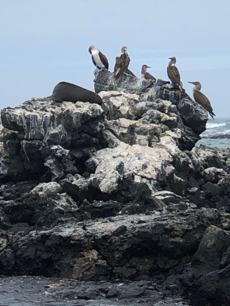
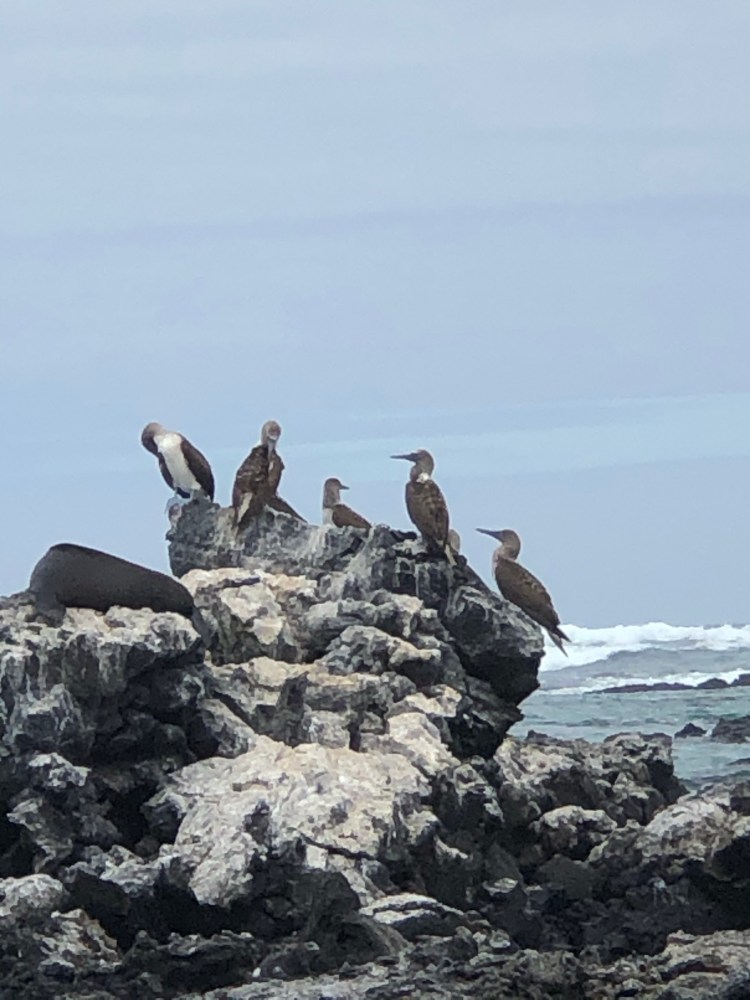
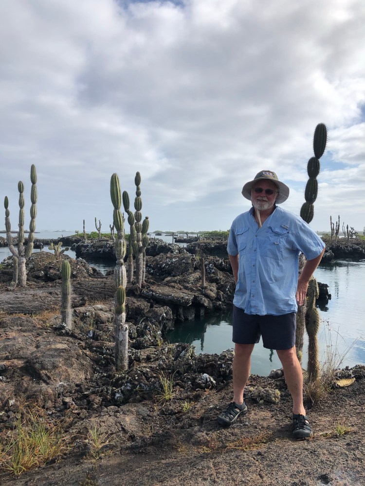
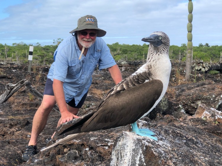
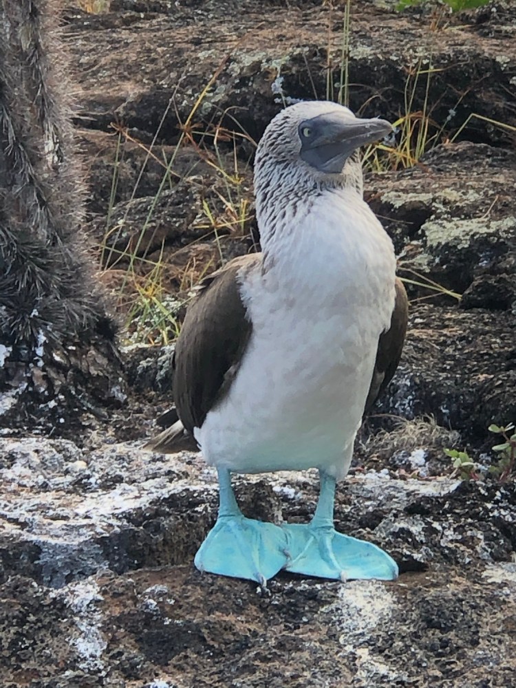
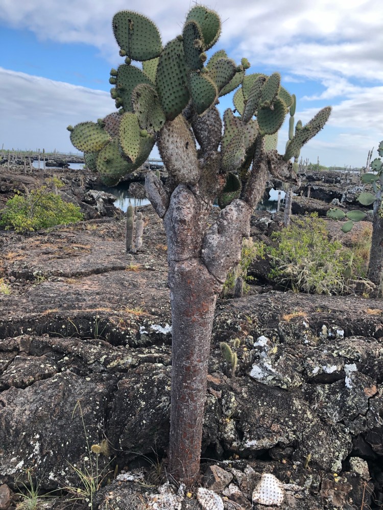
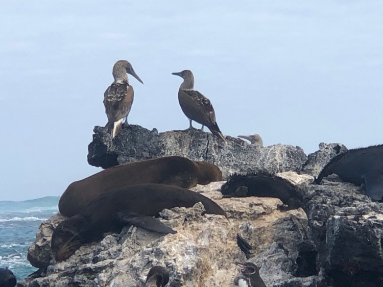
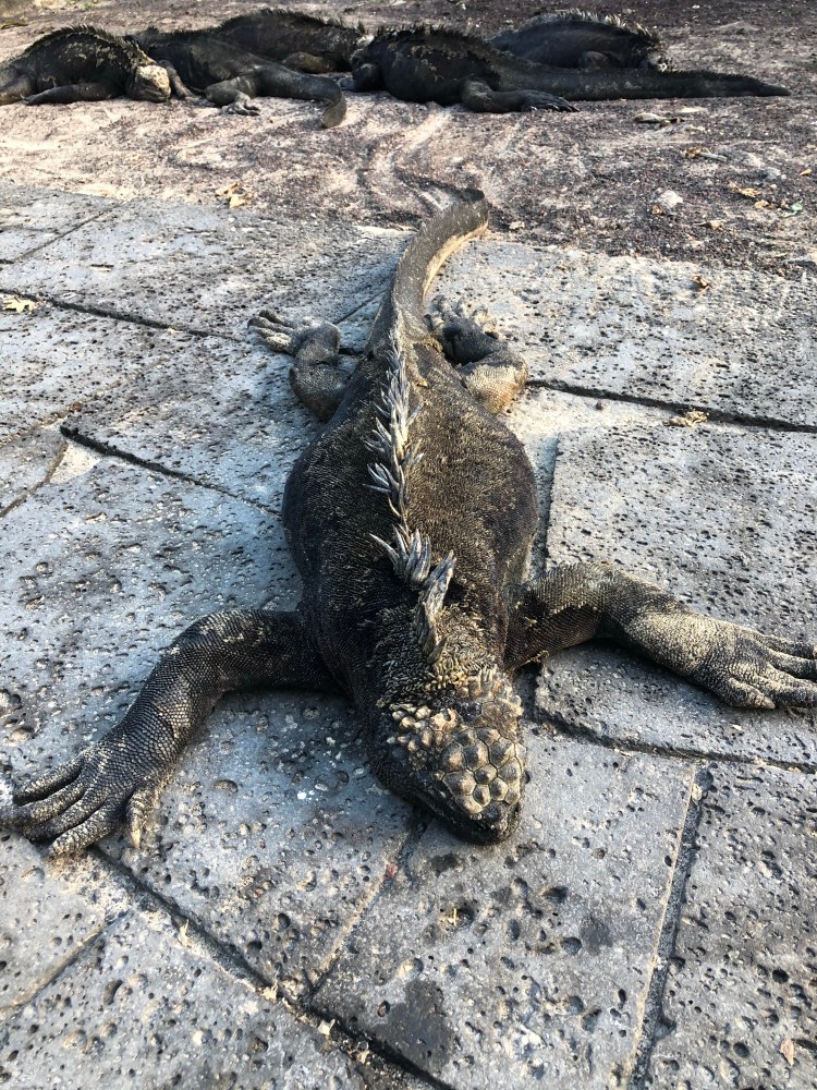
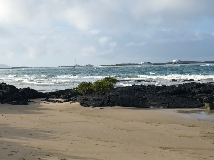
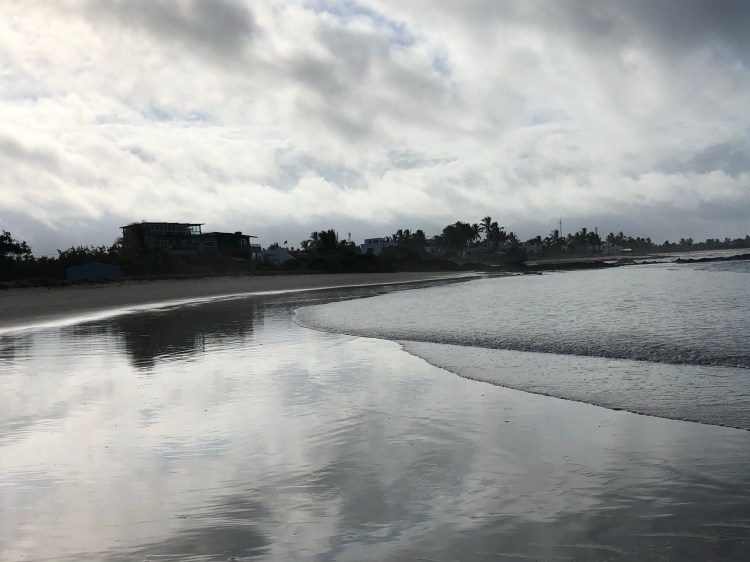
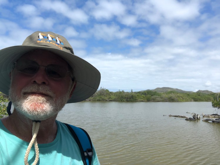
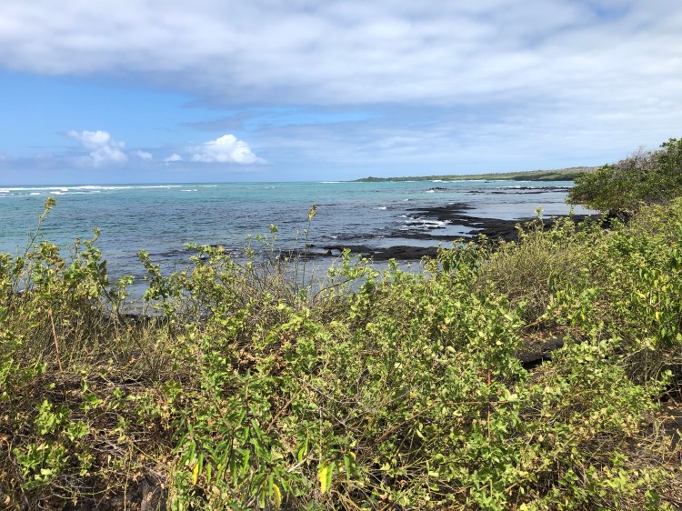
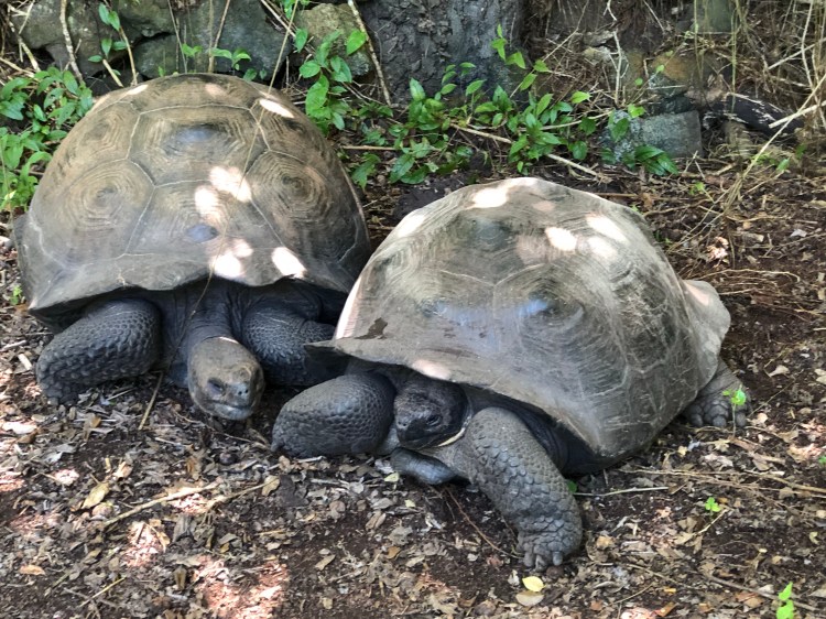
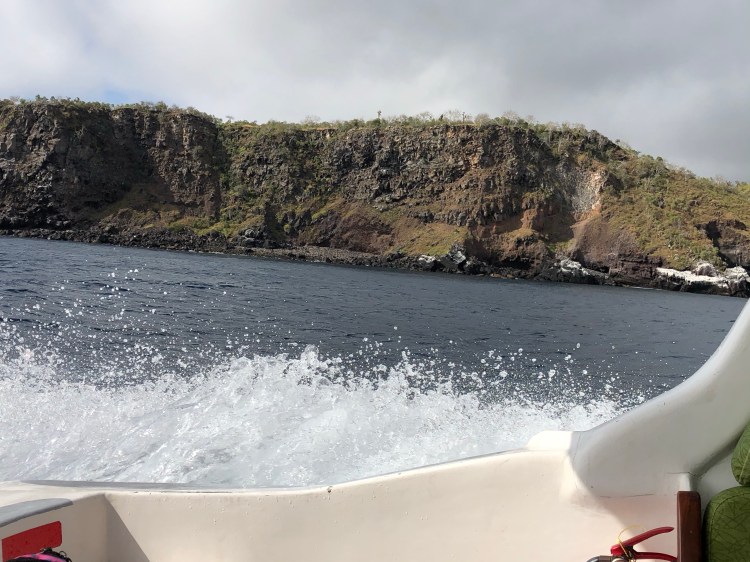
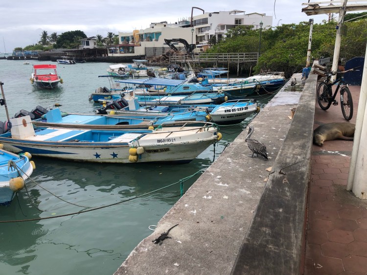
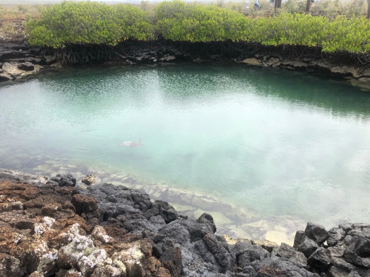
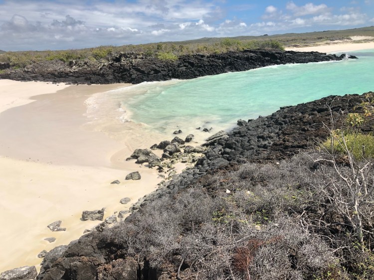
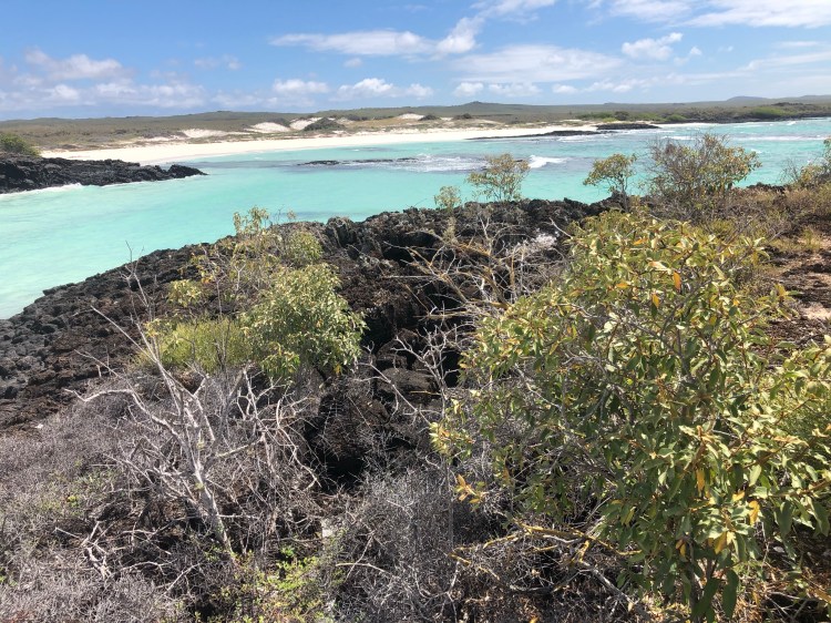
This morning I wanted to take the 30 minute walk to the other local beach called La Lobelia. Most of the shoreline here is black lava rock. Sandy beaches are the exception. La Lobelia beach is about a football field wide and offers a few sandy paths out into the protected cove. With snorkel gear on and having remembered to squirt some dish soap into my mask to prevent fogging, I stepped out to see what lay below the surface. In a small sandy area about 8 feet deep, there were about 10 truck tire size sea turtles swimming around! To the right were the largest school of striped hand sized fish that I have ever seen. I really could not see through them to the bottom. Great introduction to the marine life here!
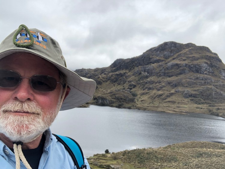
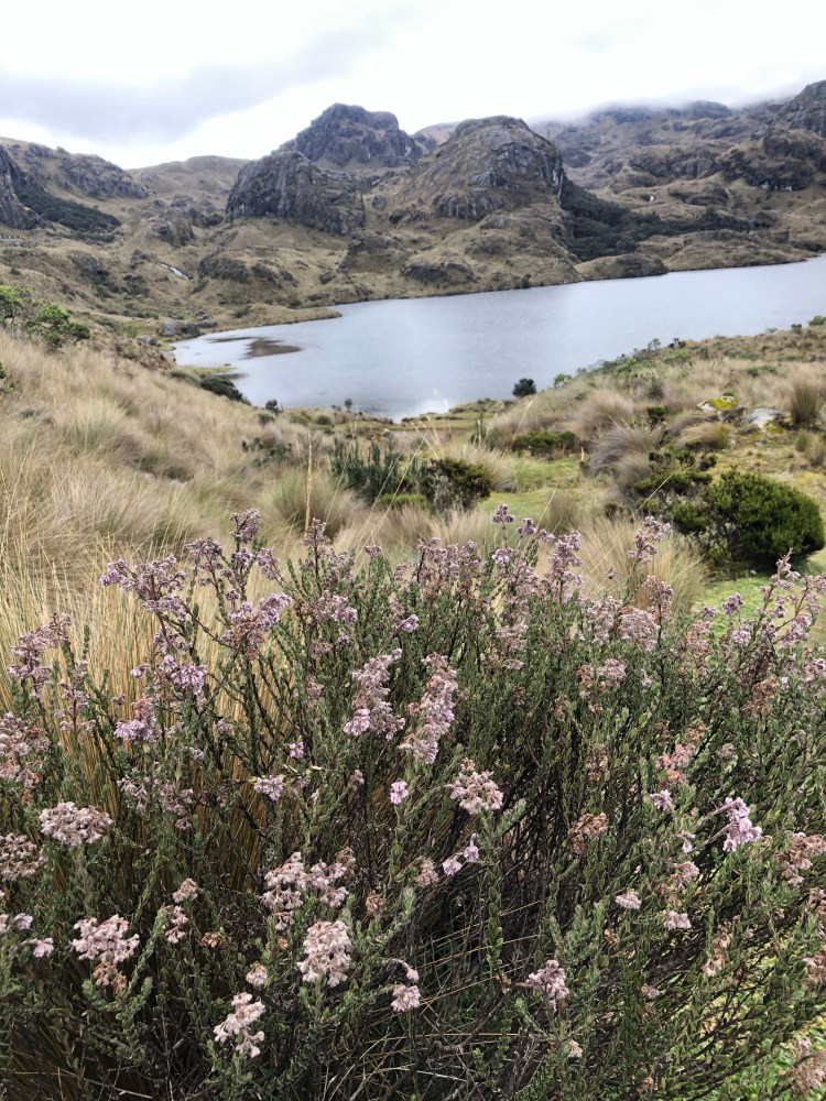
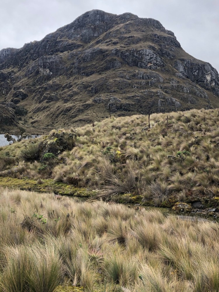
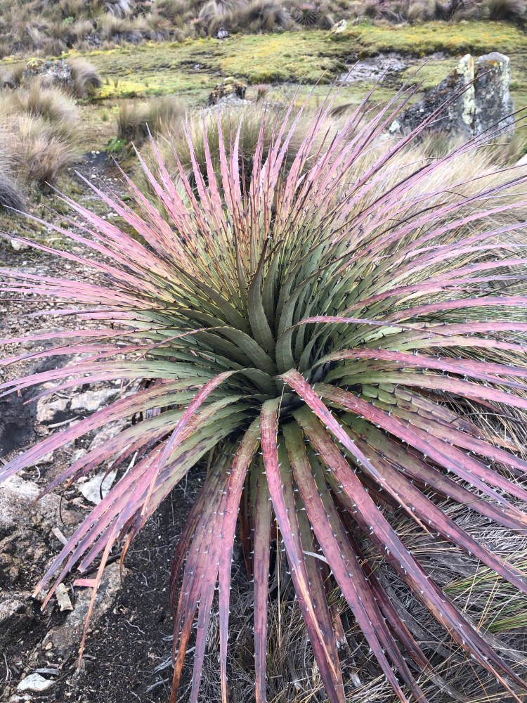
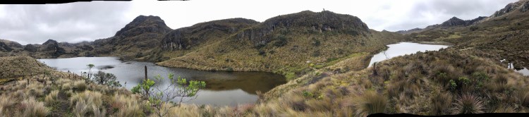
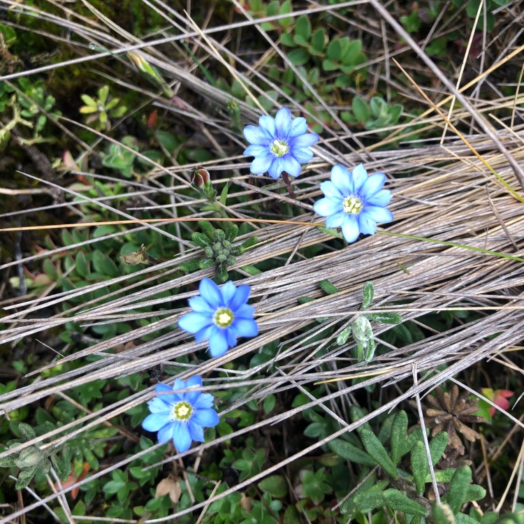
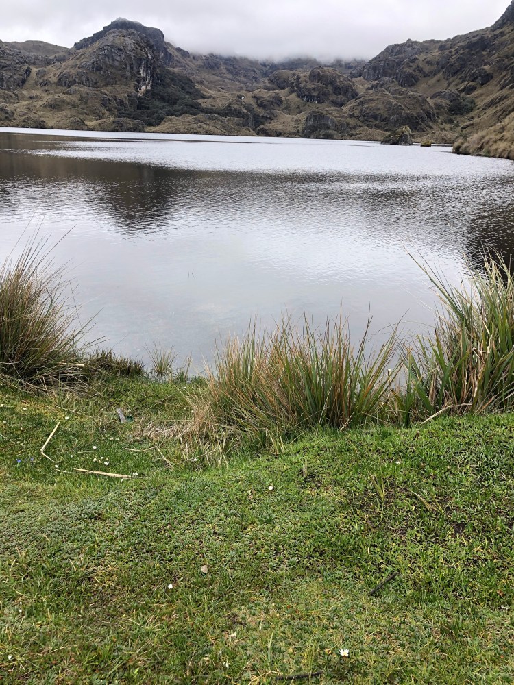
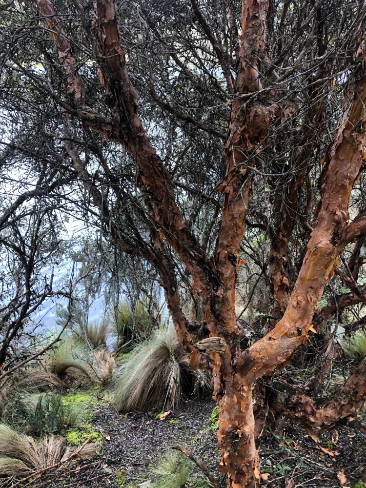
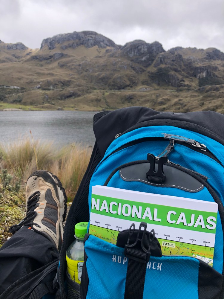
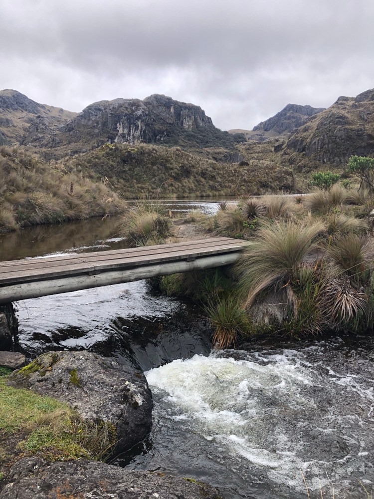
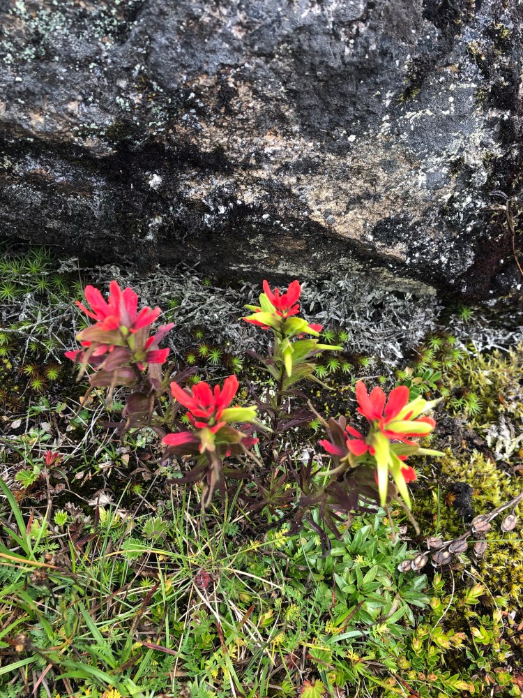
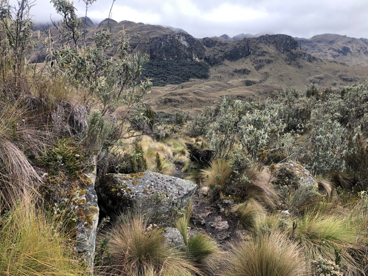
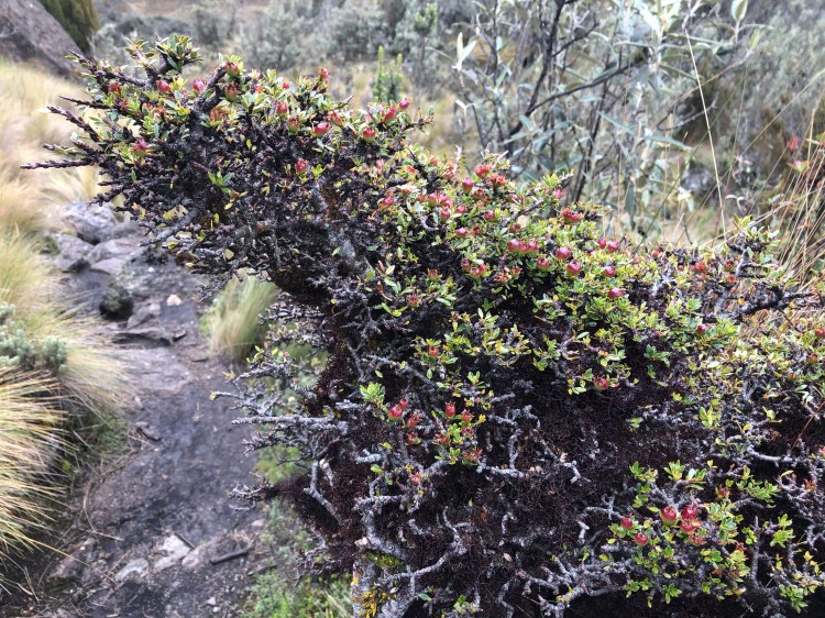
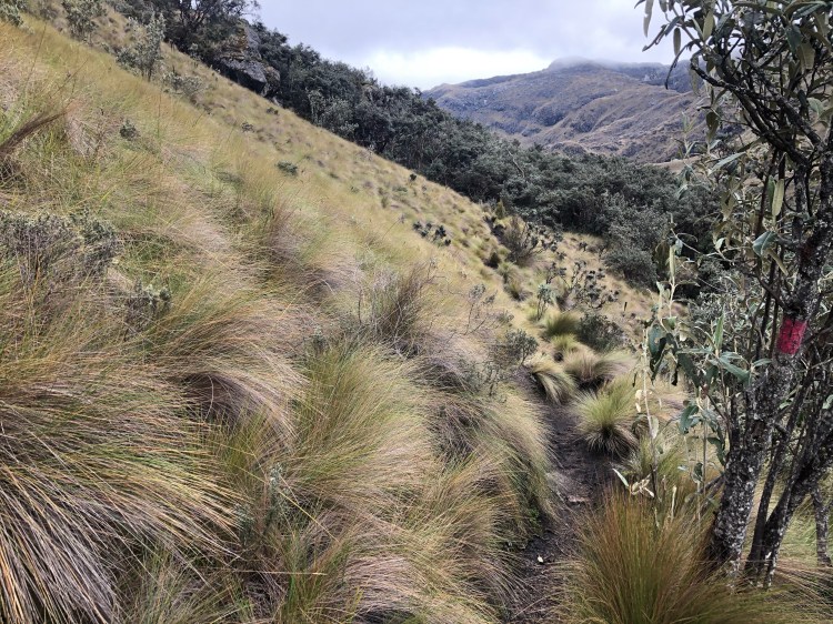
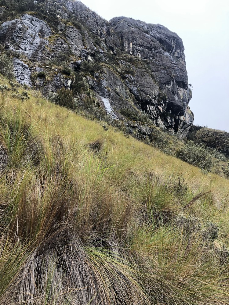
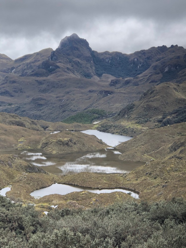
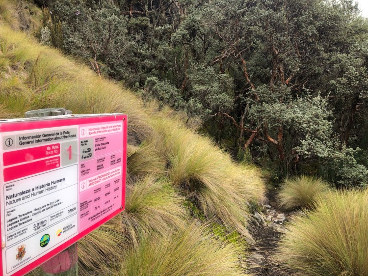
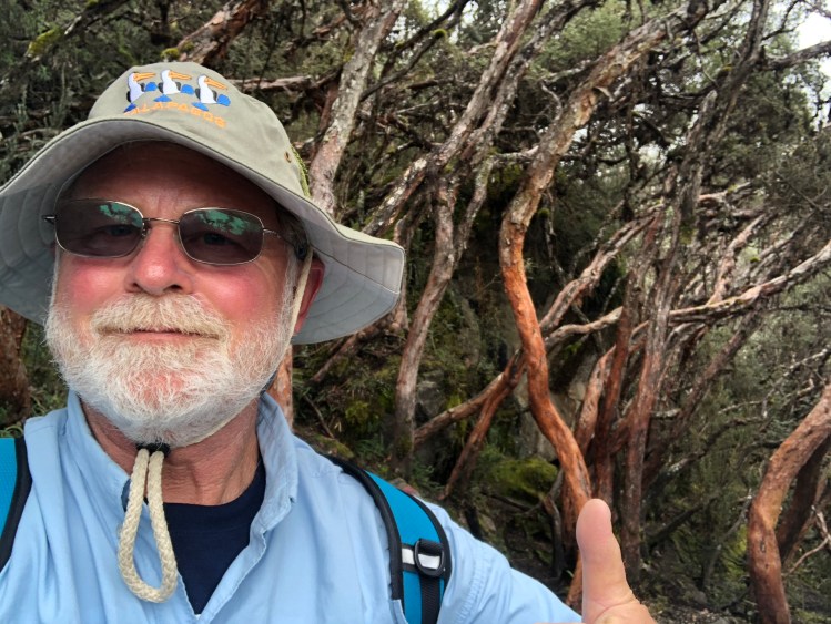
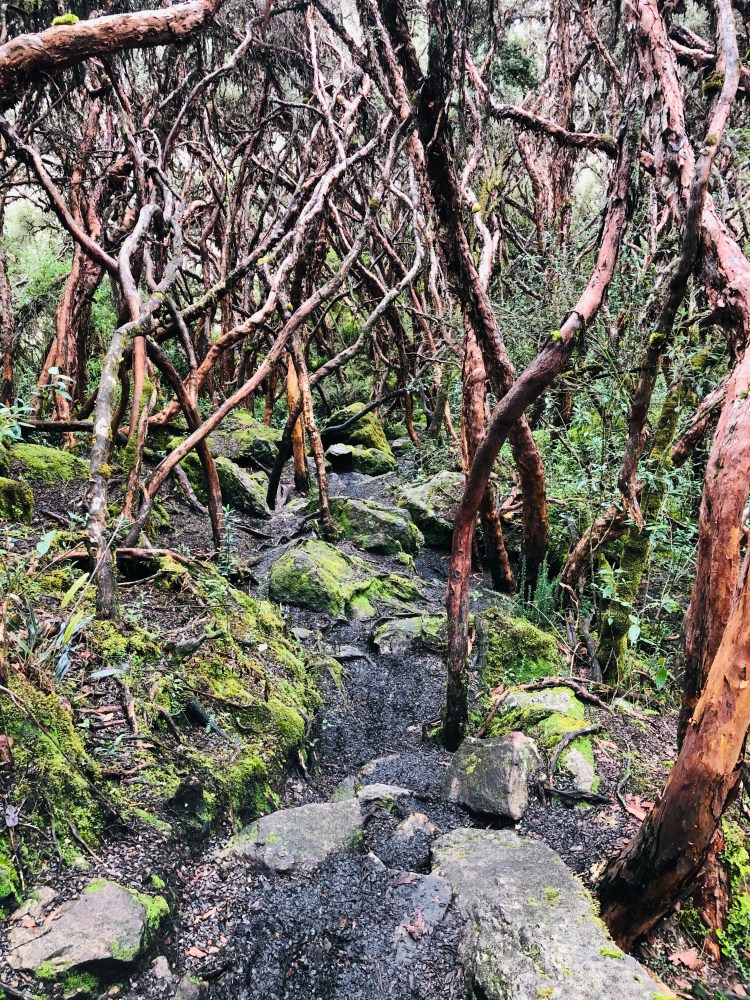
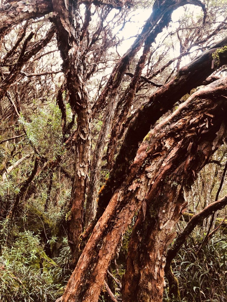
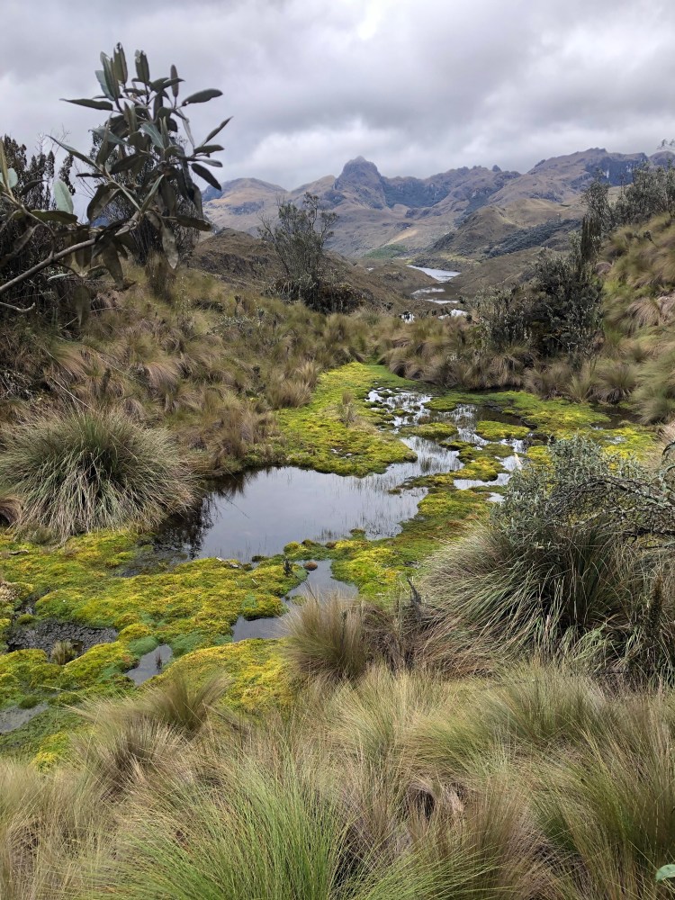
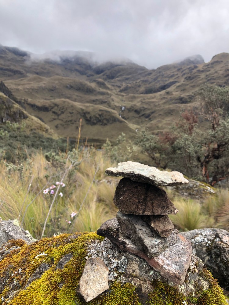
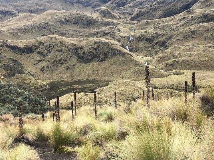
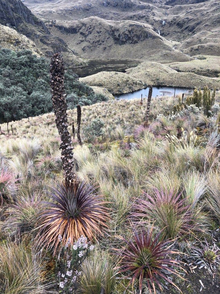
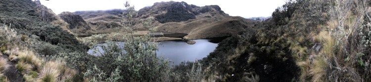
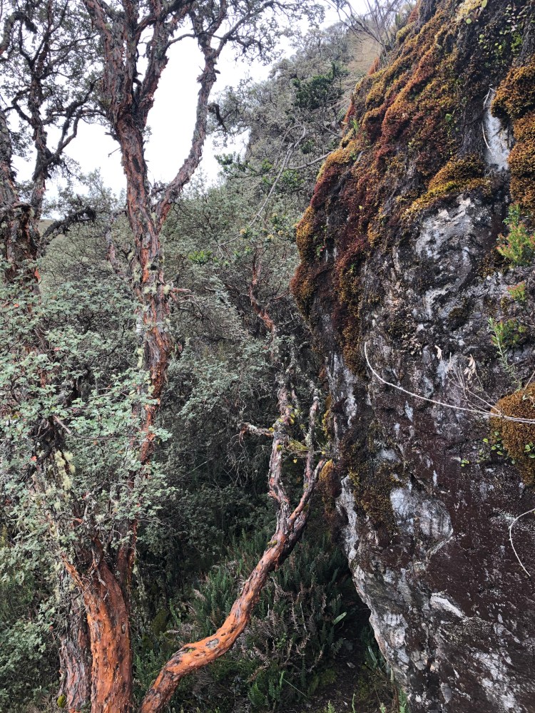
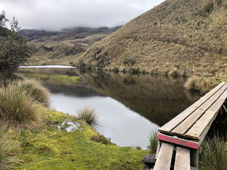
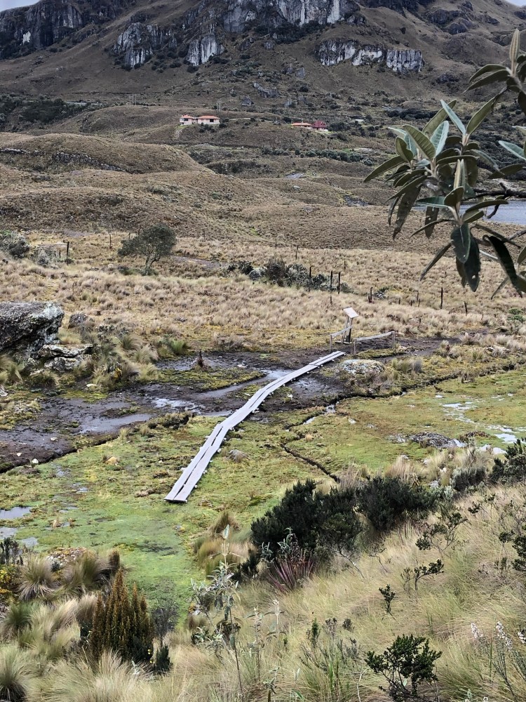
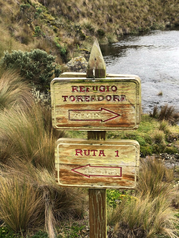
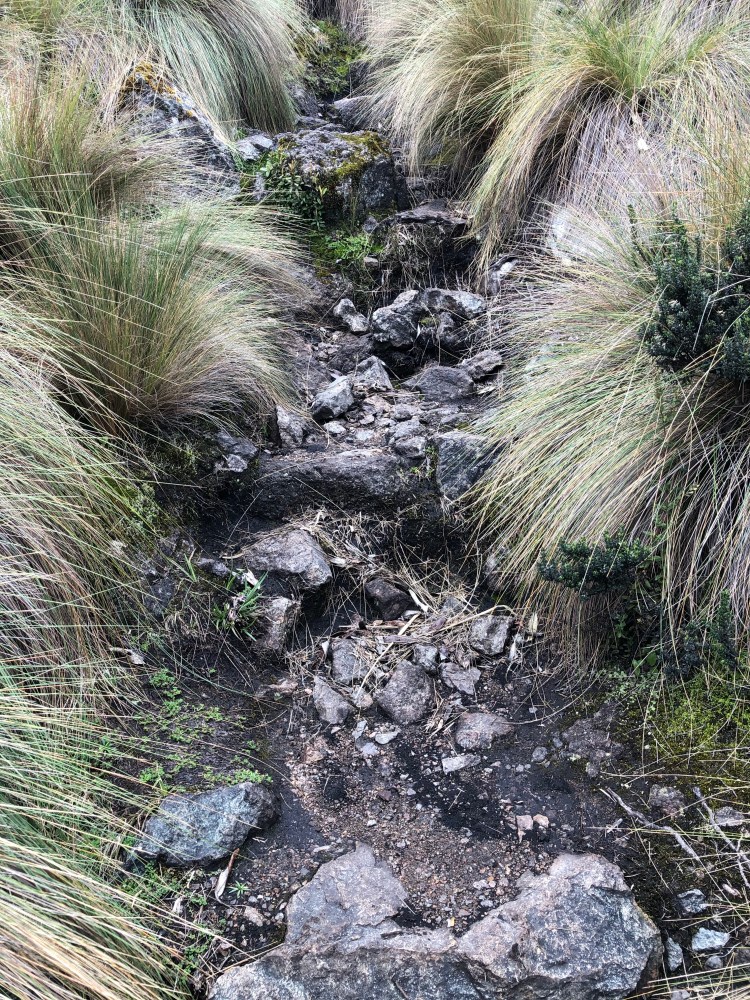
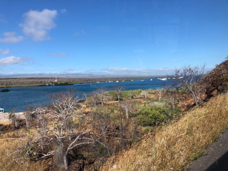
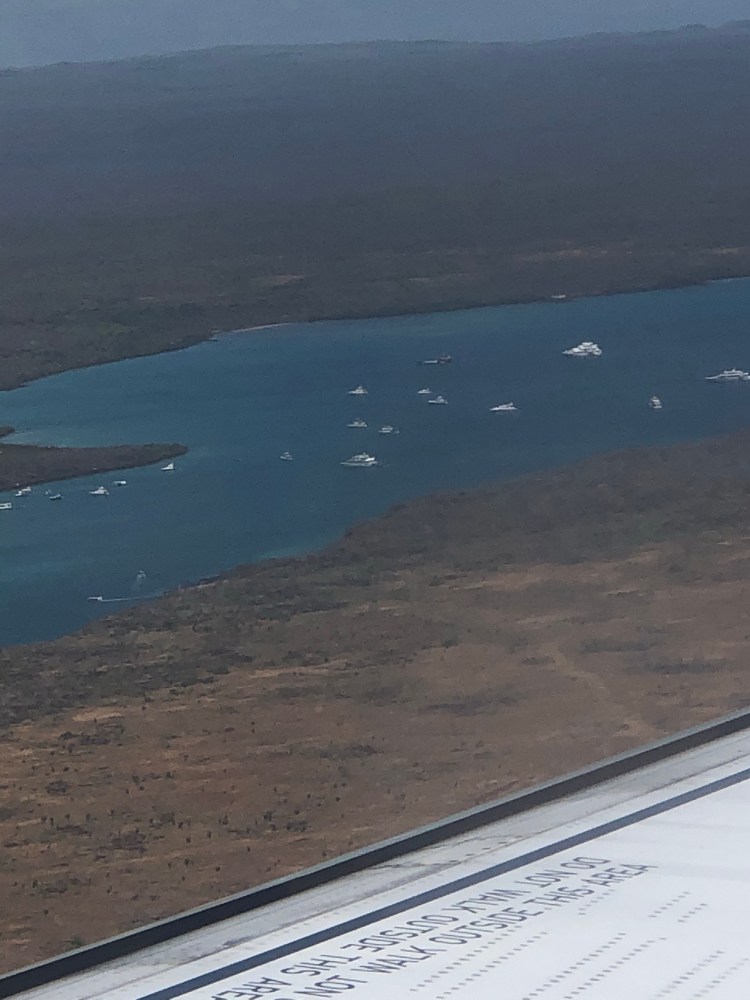
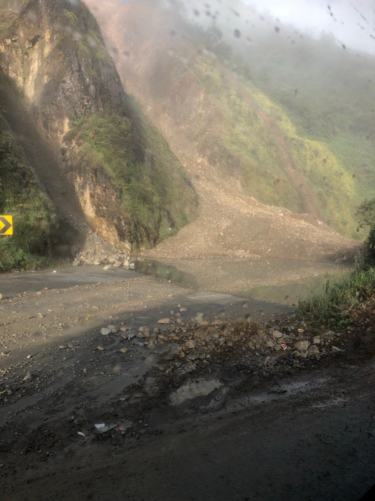
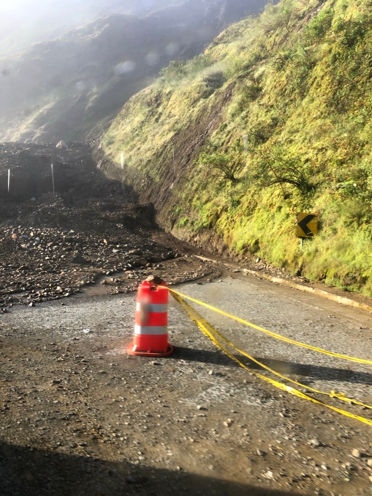
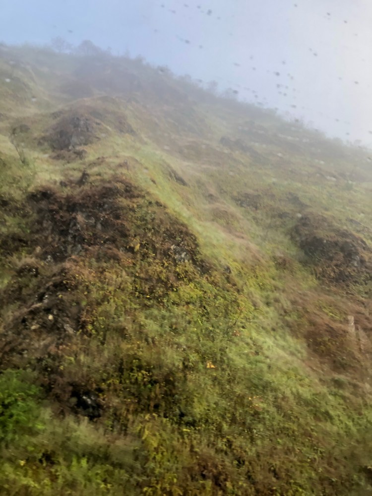
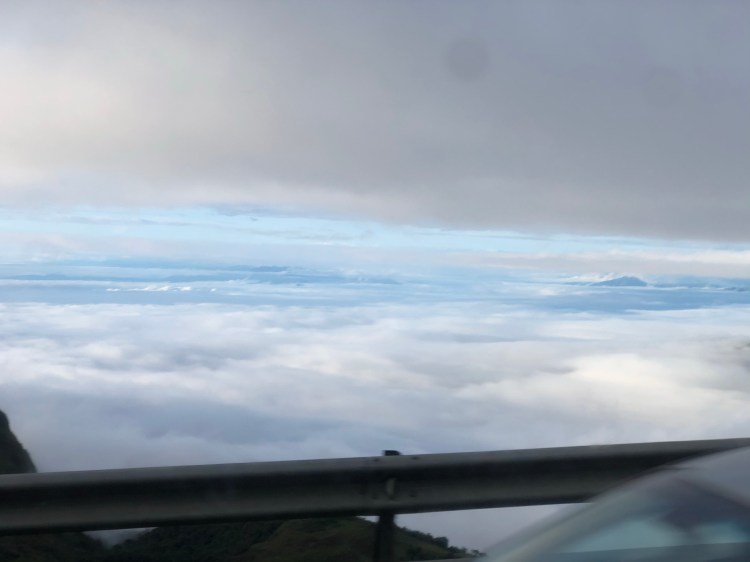
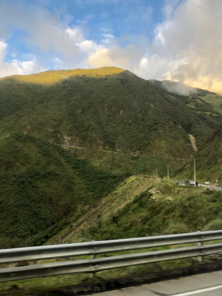
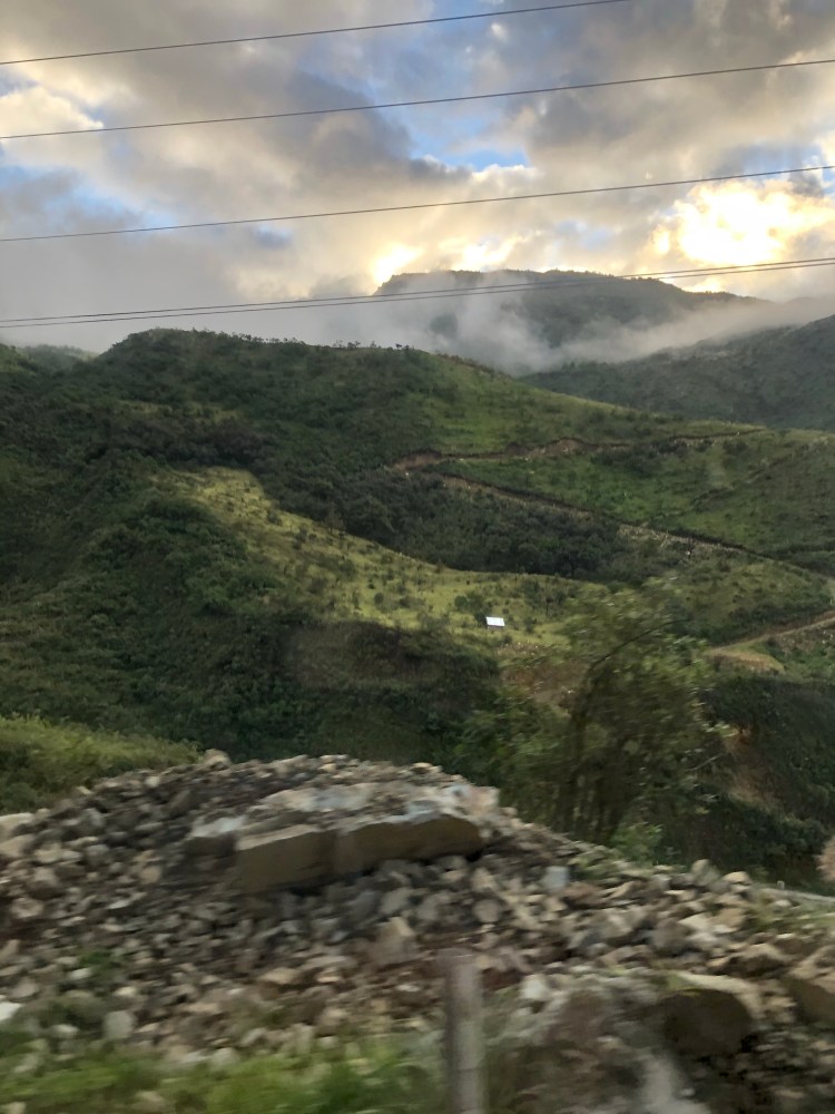
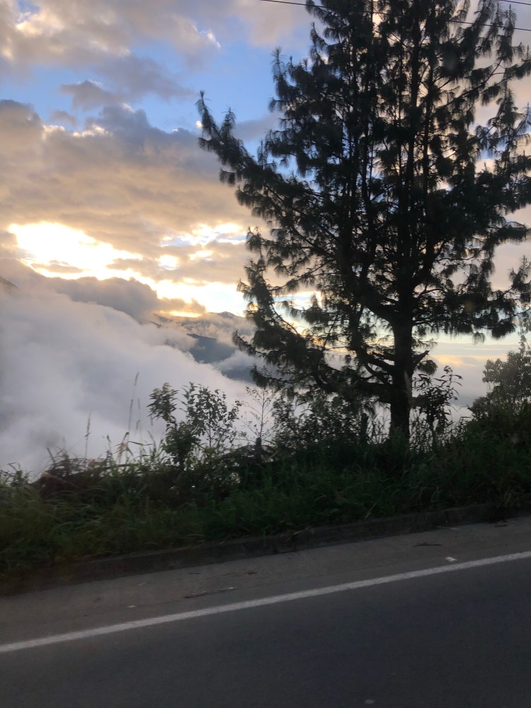
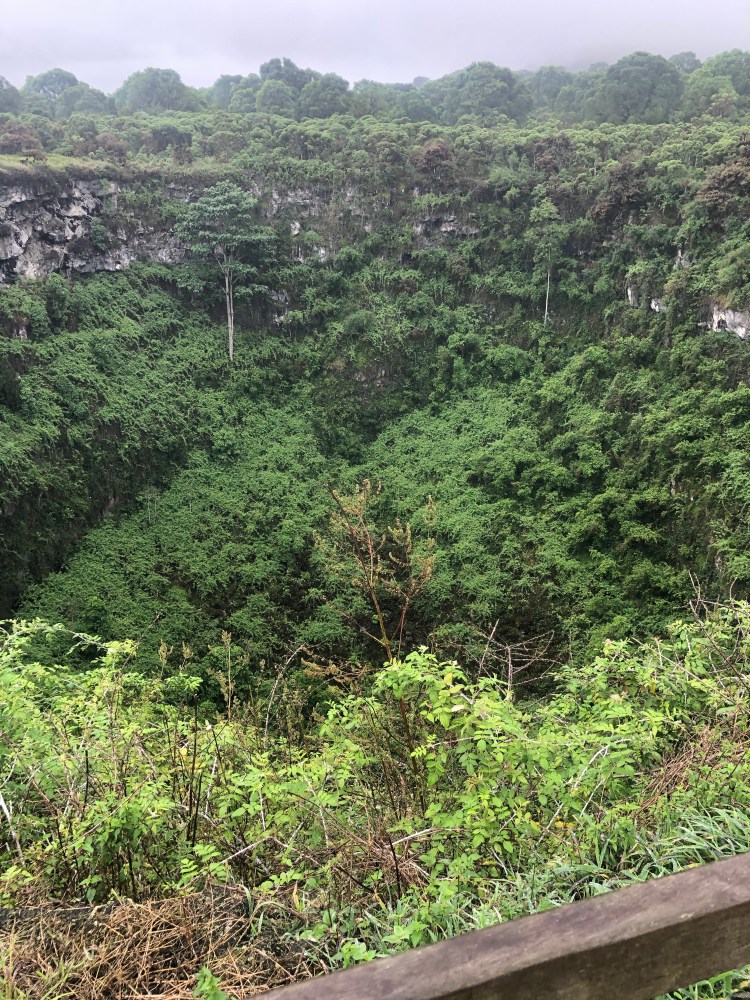
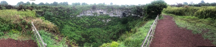
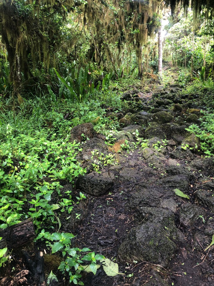
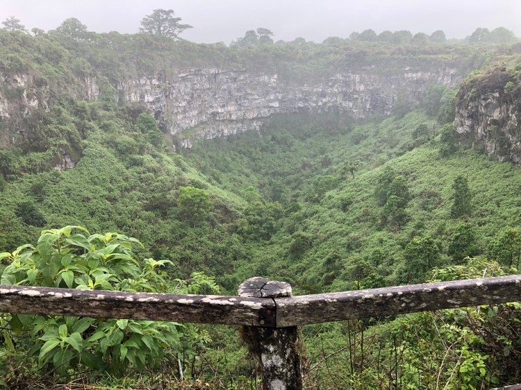
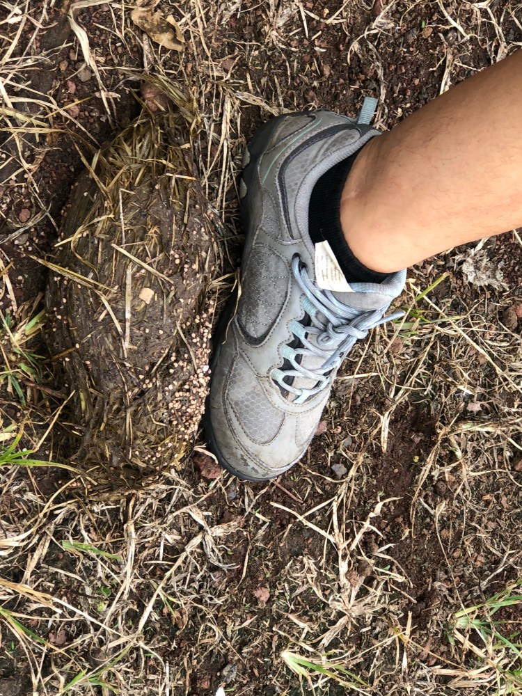
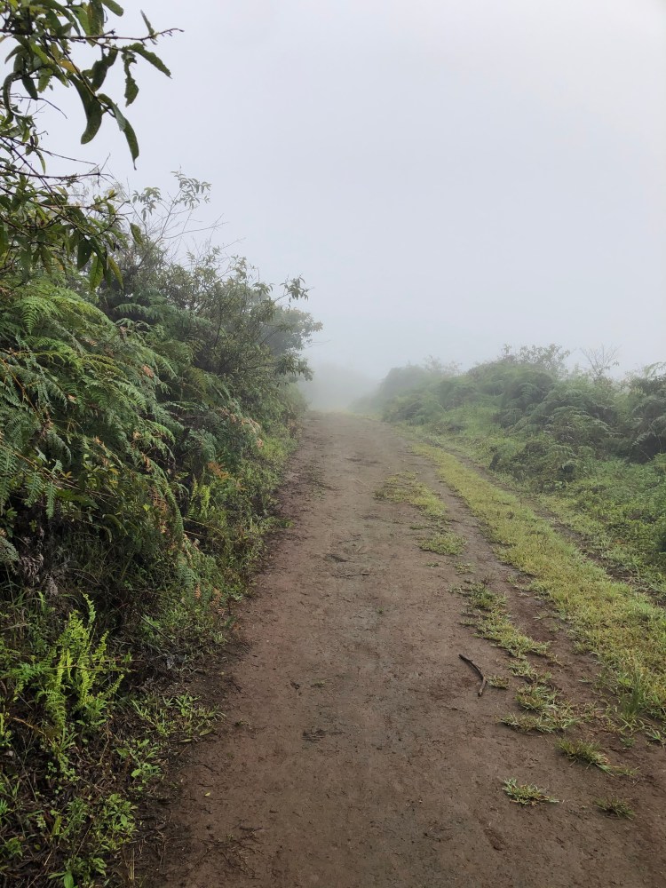
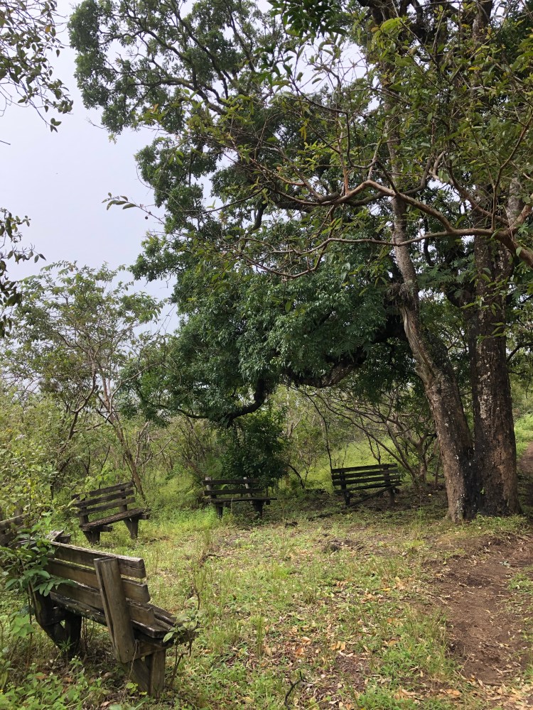
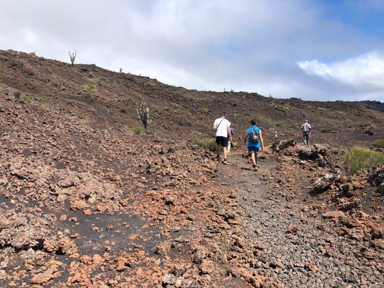
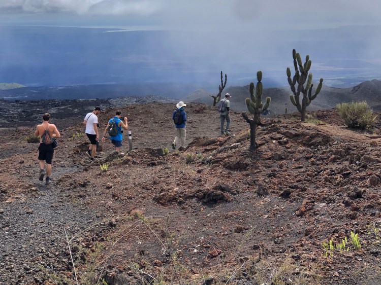
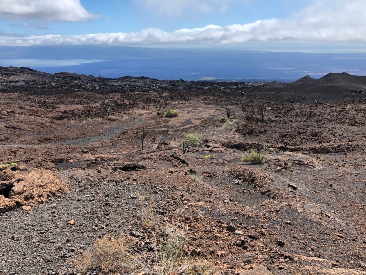
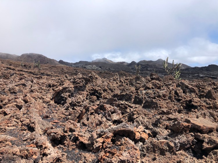
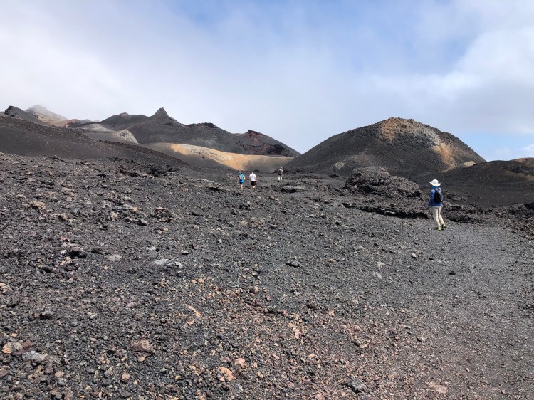
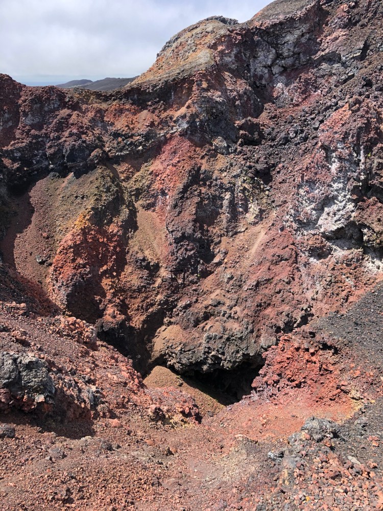
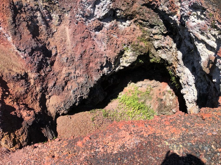
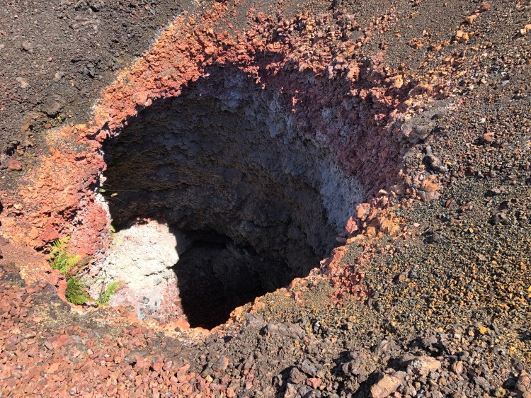
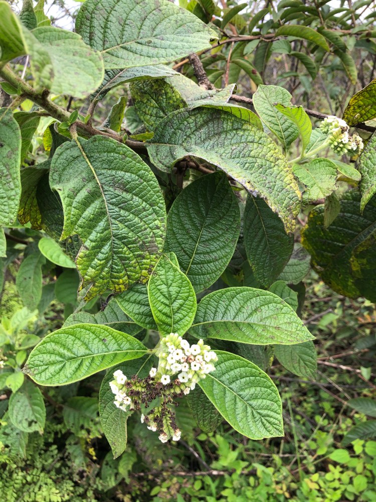
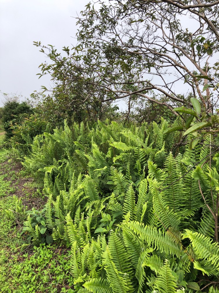
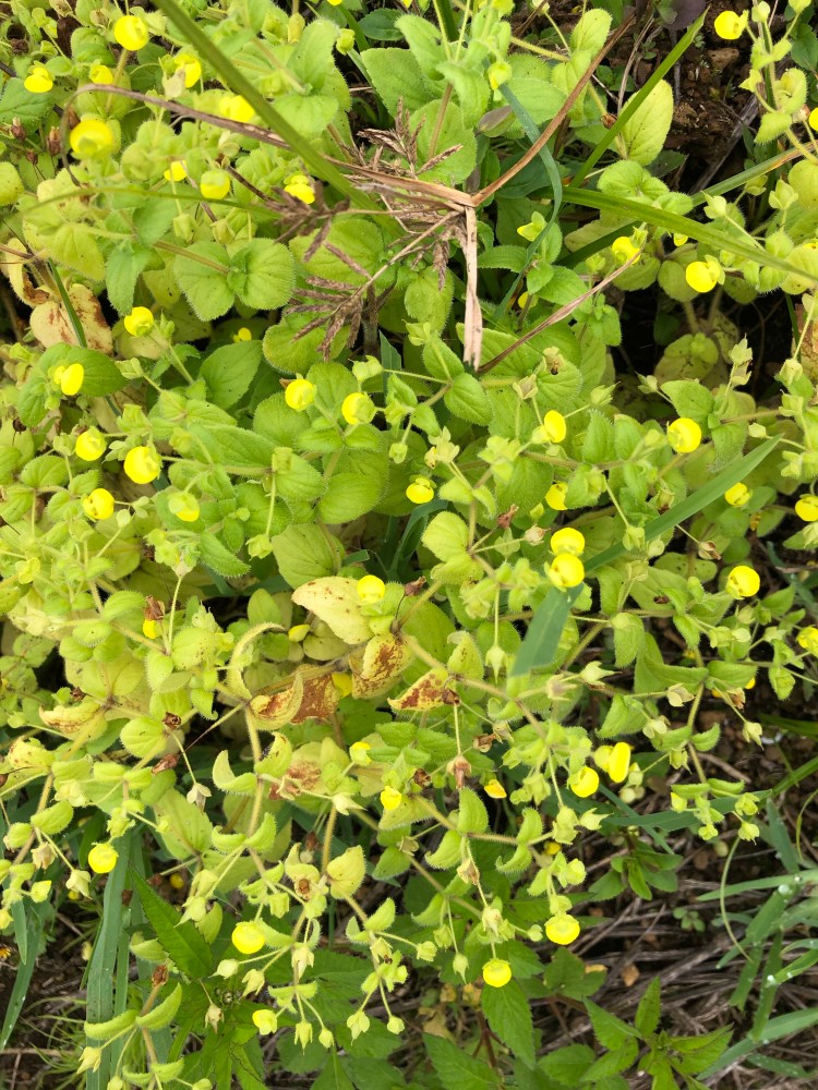
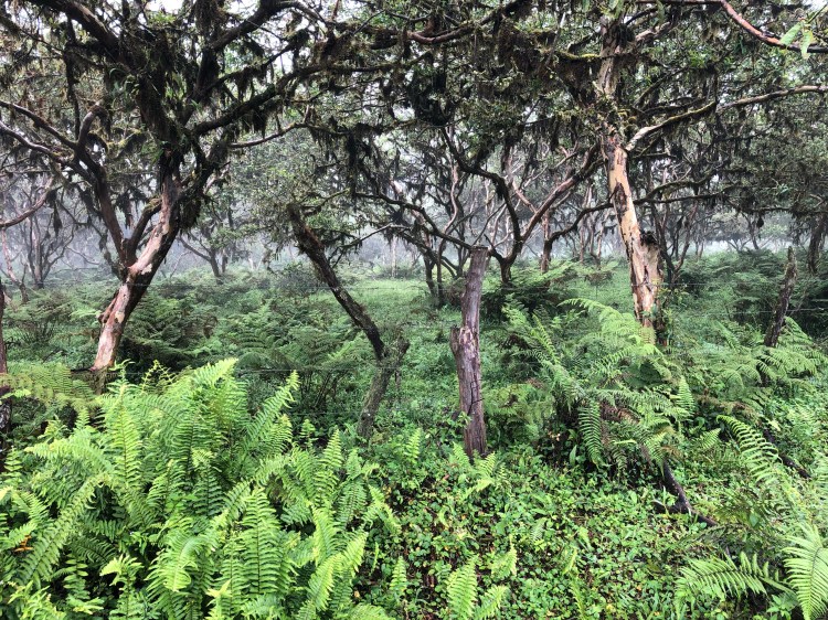
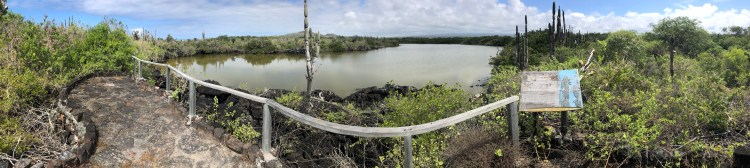
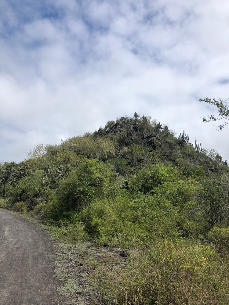
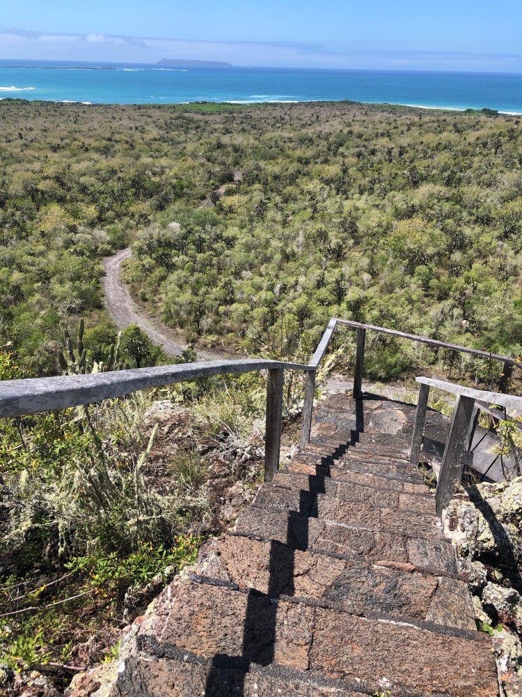
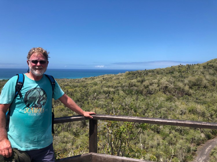
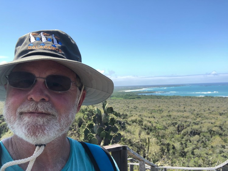
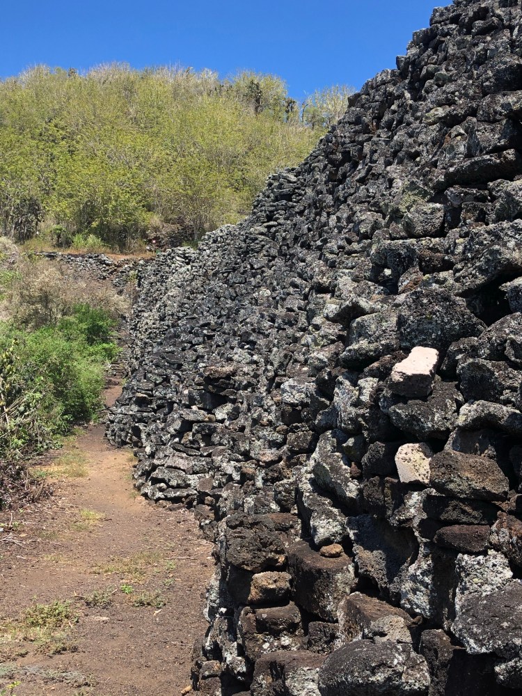
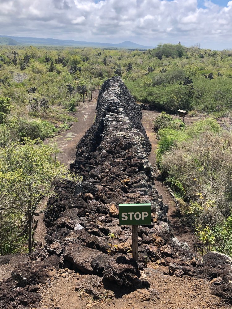
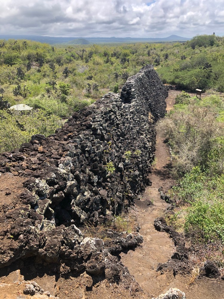
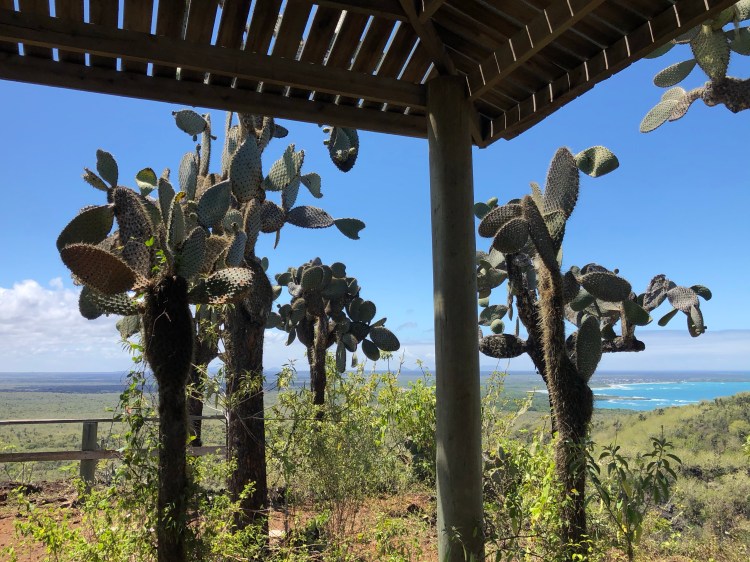
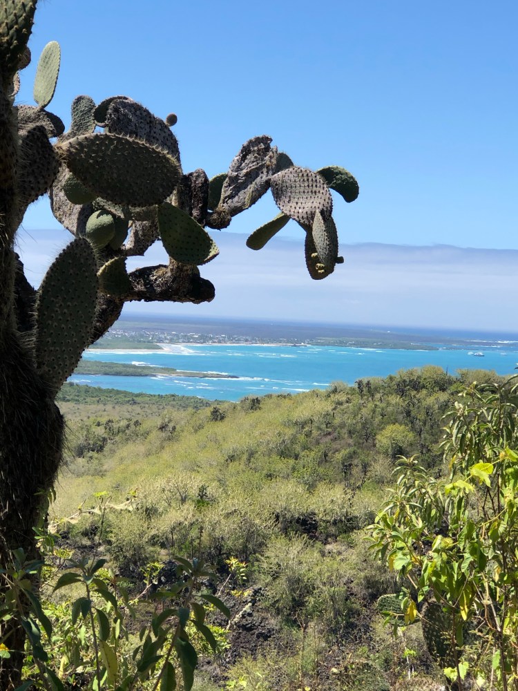
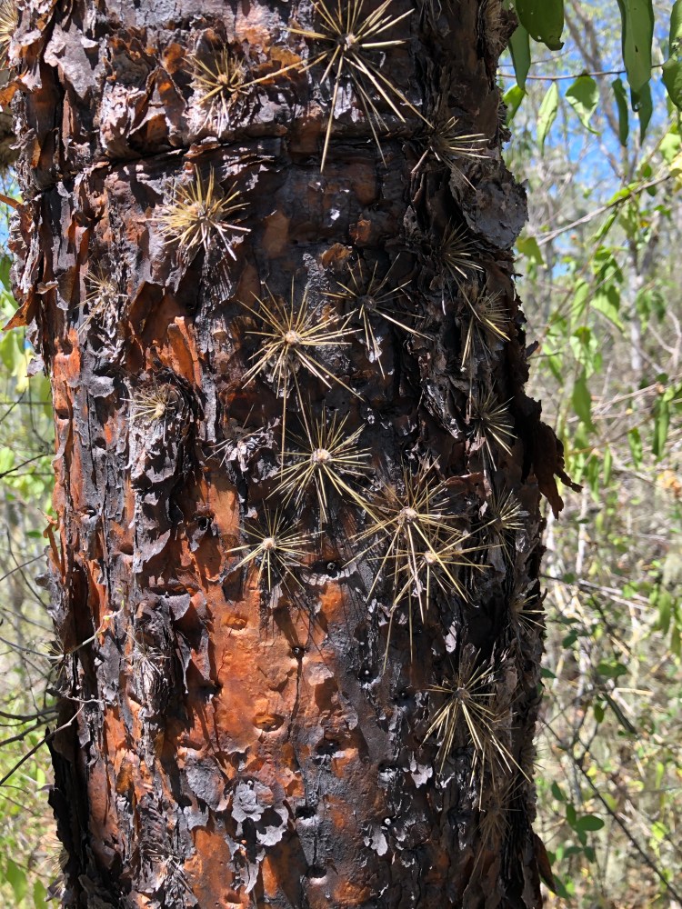
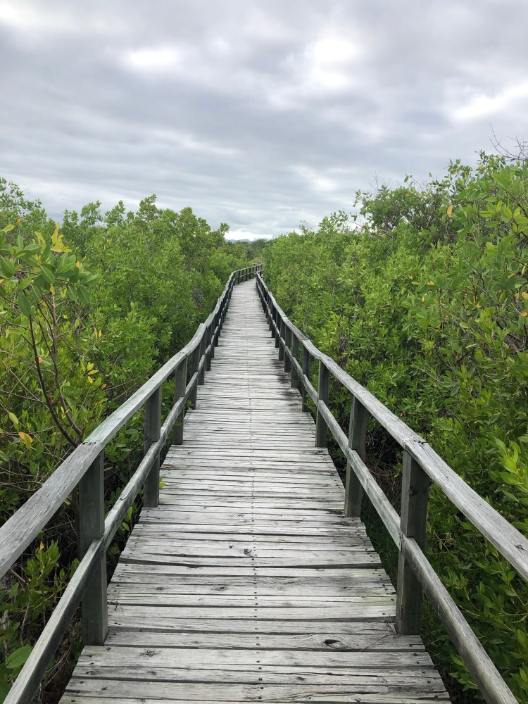
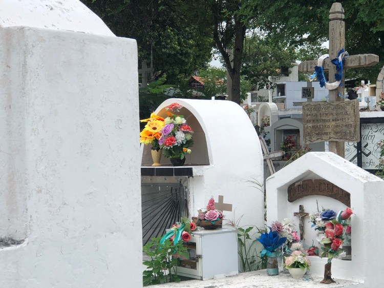
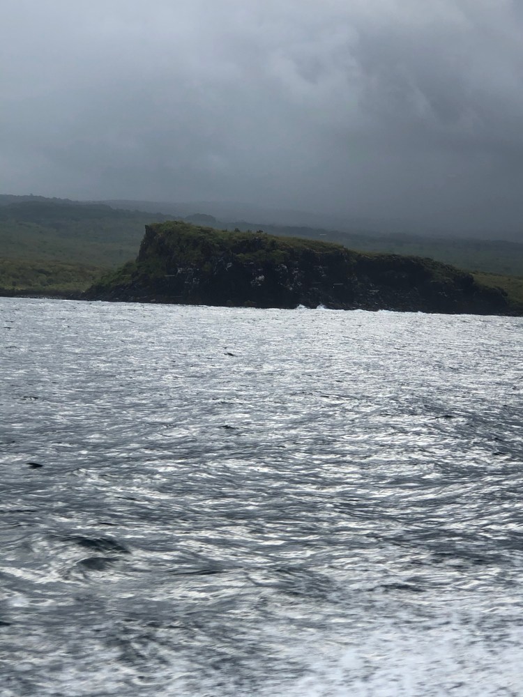
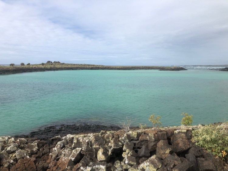
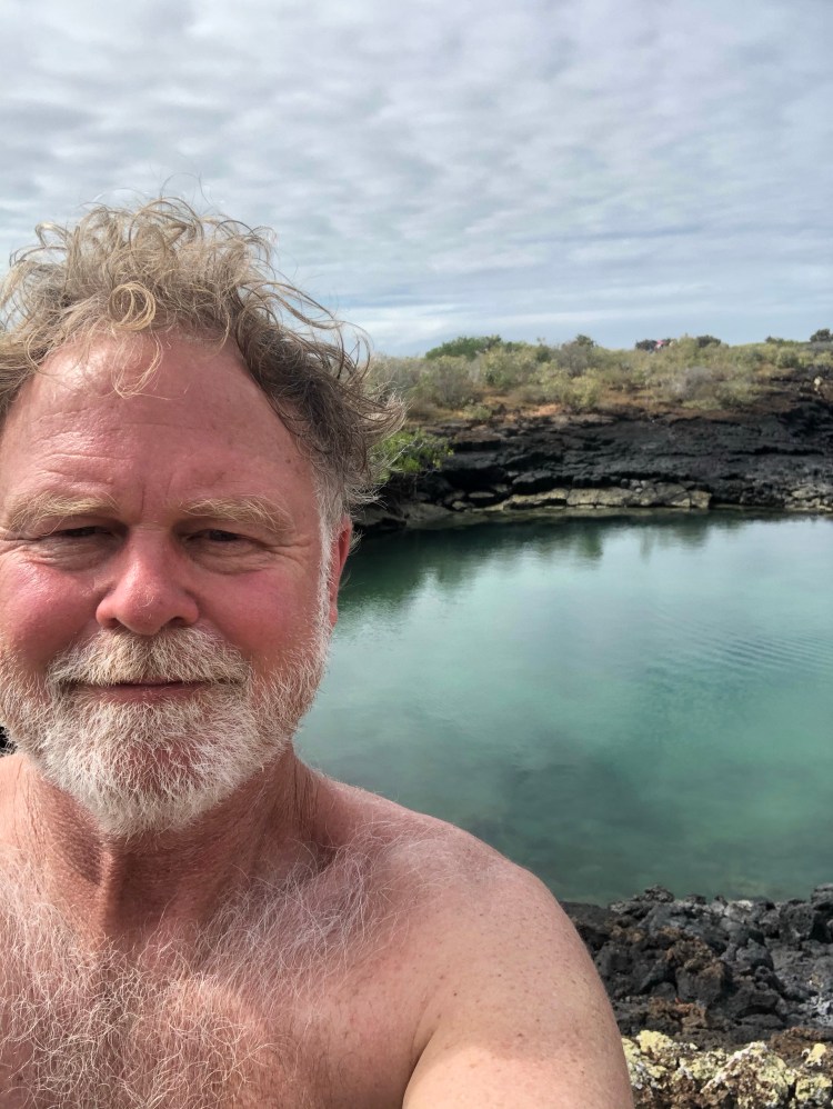
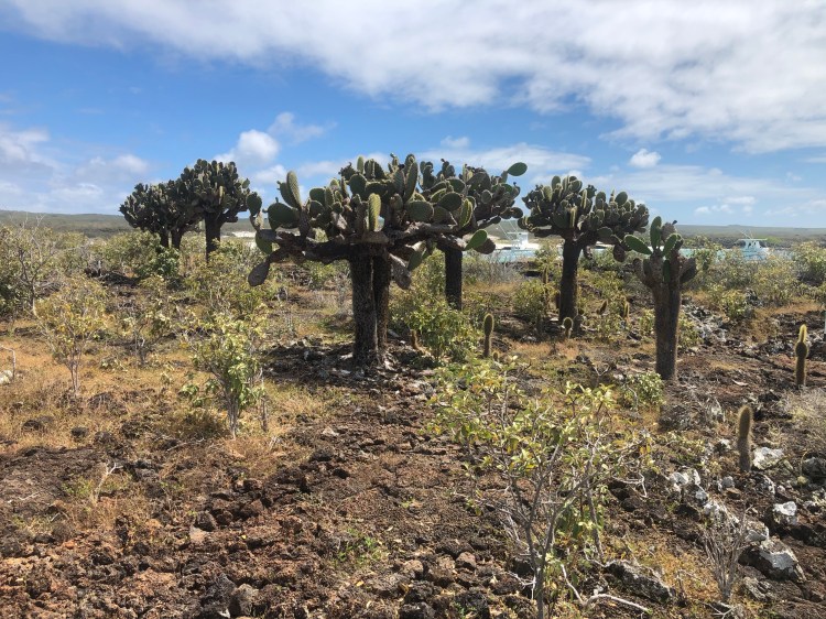
This afternoon the plan was to go to a small volcanic crater lagoon about 10 miles from town. There is a public bus that travels this one main road on the island, but the station/stop was nowhere to be found. In NYC you hail a taxi, here you just look around as a lost and confused tourist and one will show up immediately. Elizando offered to take me out and wait for me to walk around the lake for a very reasonable sum. El Junco, as it is called, is about 2340 feet above sea level and is the only freshwater, or agua dulce (sweet water), lake in the Galapagos. Most of the time it is literally in the clouds, and today was no exception. In addition, the temperature started dropping to where it felt like I was back home hiking one of the Roan balds. When we arrived at the parking lot, Elizando insisted on accompanying me because, with the path obscured by the fog, I might get lost or fall off the path. In addition, if I disappeared under his watch, he would be in big trouble with the police. OK, we don’t need another foreign tourist disappearance story on the news. The path climbs steeply for a ways and then becomes stairs and could be rated moderately difficult. Elizando could be rated as overweight and out of shape, so I was thinking the news story might be reversed and I would be driving him back to town laid out in the back of his truck. Long story short, we made it around the lagoon without incident, stopping to talk often so he could catch his breath. Unfortunately, the lake was completely shrouded by the clouds. There is a rare Miconia forest that is being managed. Also, a dark moss that hangs everywhere.
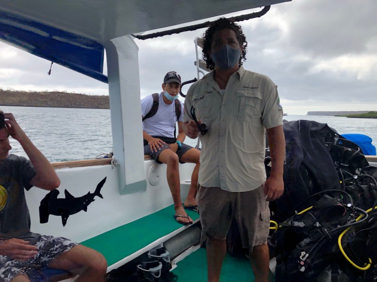
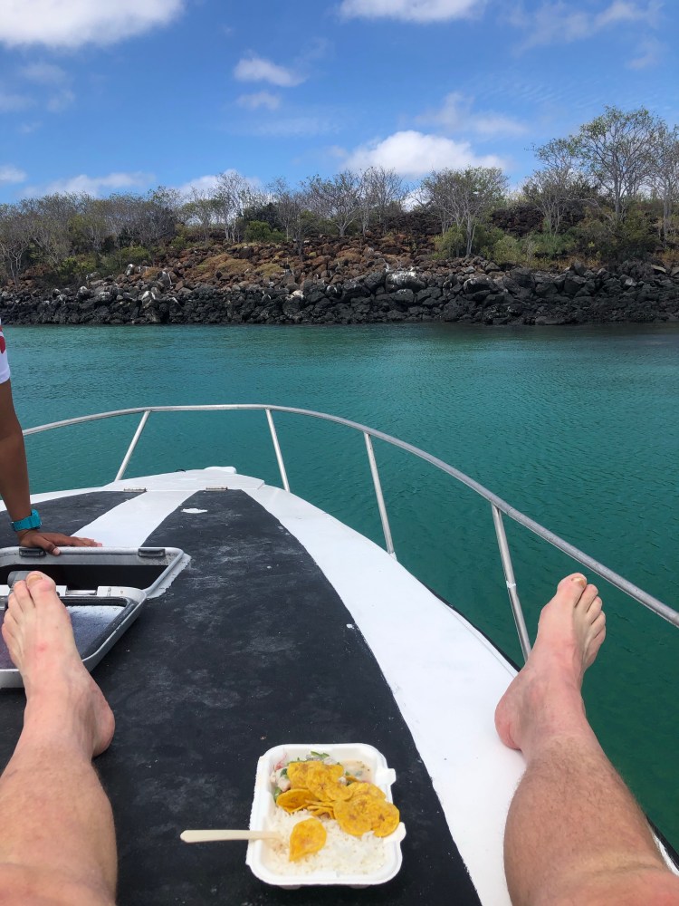
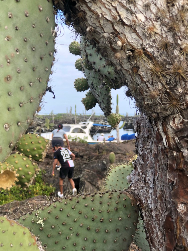
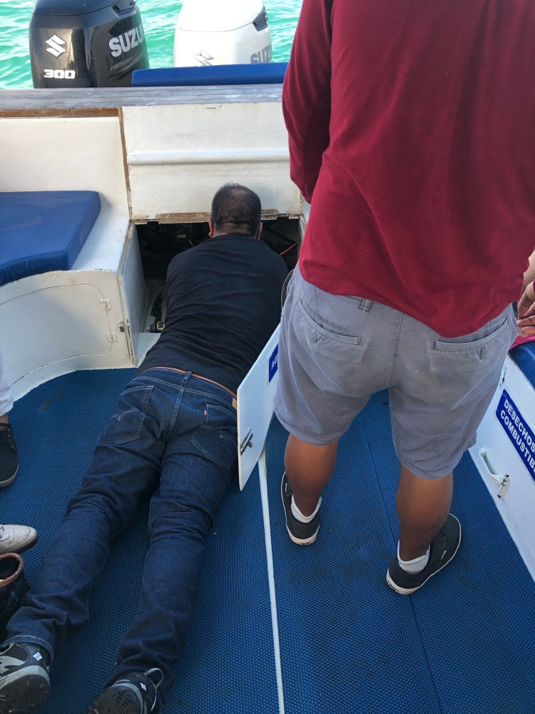
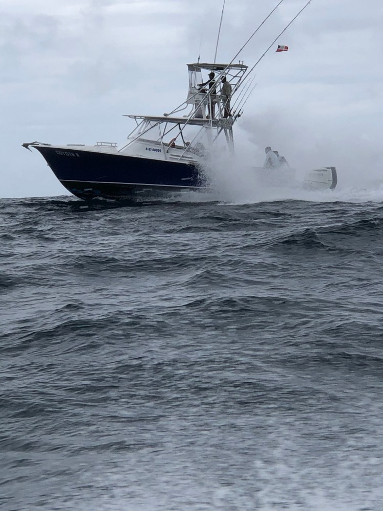
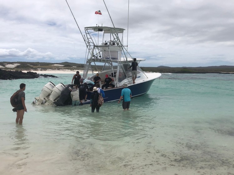
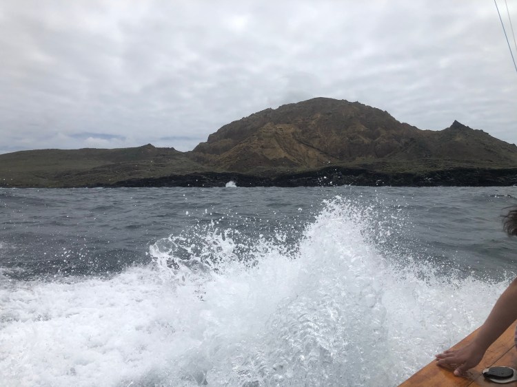
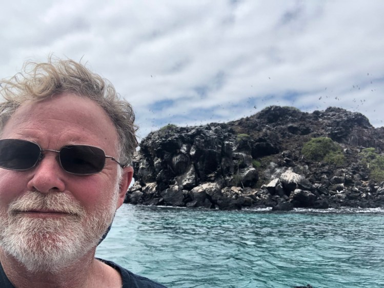
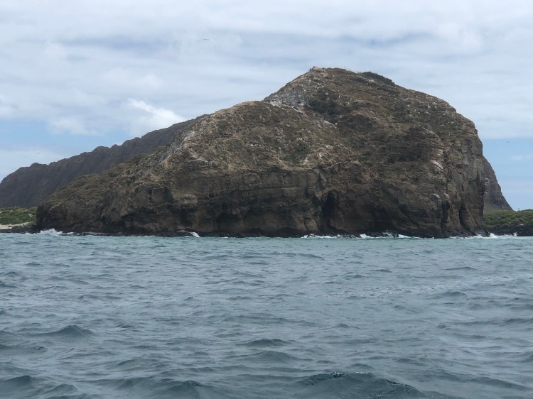
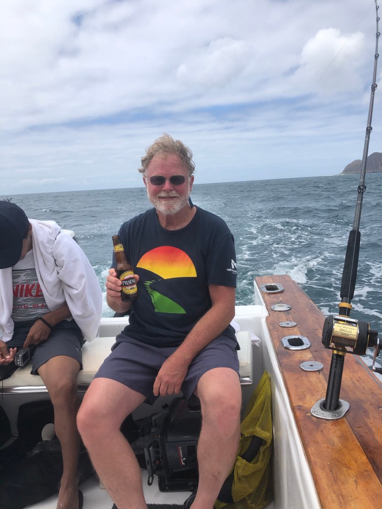
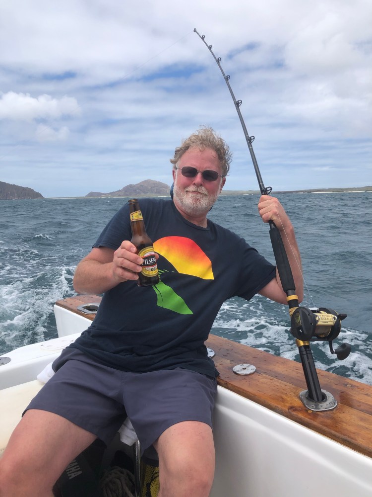
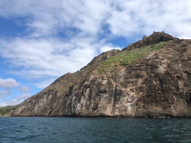
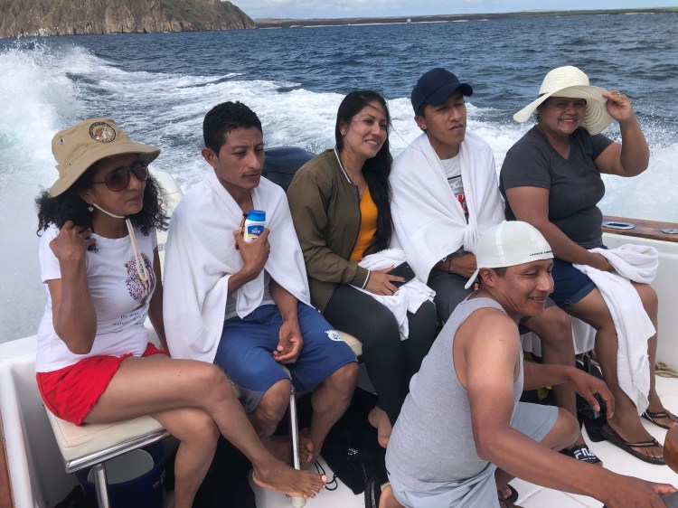
Tomorrow I have booked what they bill as the 360 Tour. We will circumnavigate the island, stopping several times to snorkel, for beaches and have lunch. Looking forward to it!